
Category: Cadastral Maps
-
The Reliable Homeowner’s Guide To Understanding Cadastral Records
Reliable knowledge of cadastral records is vital for every homeowner looking to navigate property ownership confidently. These records provide detailed information about land ownership, boundaries, and land use, empowering you to make informed decisions regarding your property. In this guide, you will uncover the significance of cadastral records and how to access and interpret them Read more
-
Supporting Smarter Land Use in North Carolina with Earthplat.com

Earthplat empowers you to make informed decisions about land use in North Carolina. By providing data-driven resources and tools, you can optimize development while minimizing environmental impact. With Earthplat, you can better understand zoning regulations, community needs, and sustainable practices that align with your goals. Join the movement toward smarter land use that enhances quality Read more
-
Why Are Plat Maps Essential For Homebuyers In North Carolina?

Many homebuyers in North Carolina overlook the importance of plat maps, but these documents are vital for understanding property boundaries and land usage. By reviewing a plat map, you gain insights into your potential new property, including its dimensions, neighboring properties, and local zoning regulations. This knowledge can empower you to make informed decisions when Read more
-
GIS property map Florida
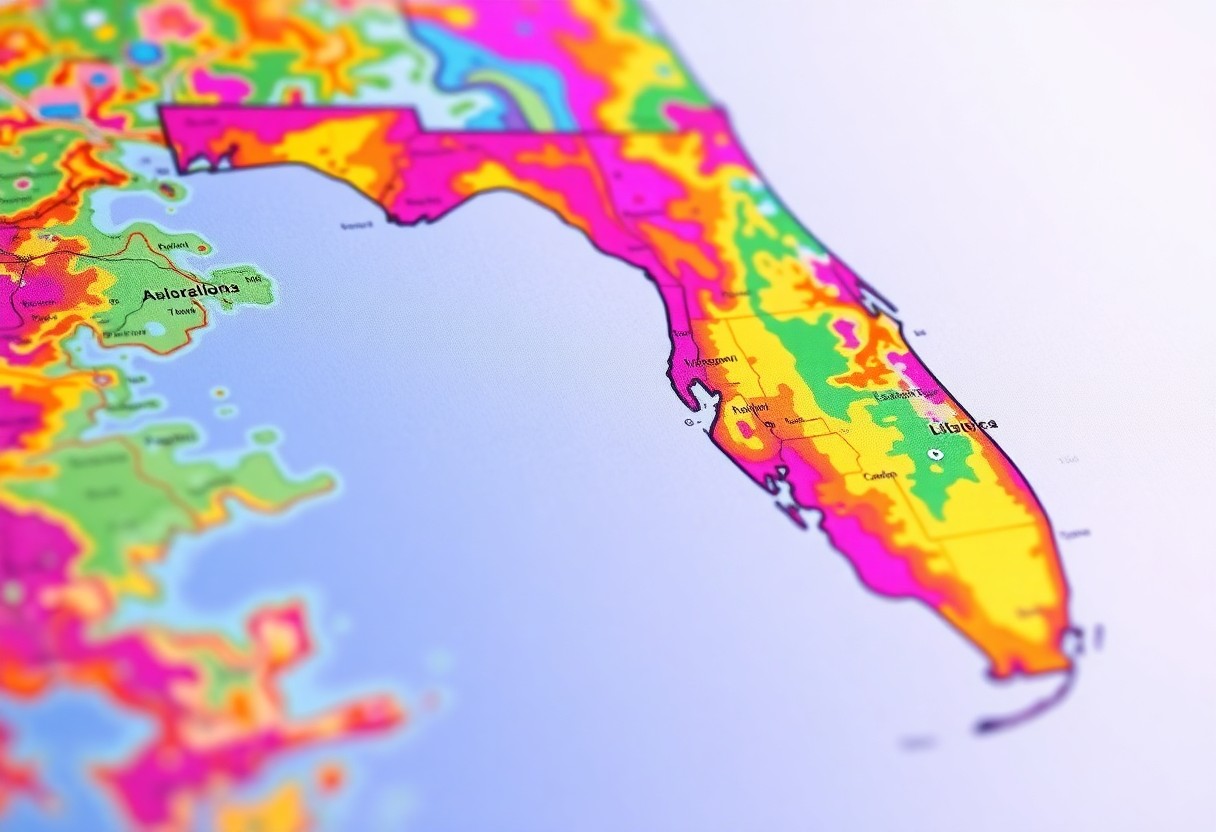
Property mapping in Florida has evolved into a sophisticated tool that can significantly enhance your understanding of land use and real estate. By utilizing Geographic Information Systems (GIS), you can access detailed property maps that provide insights into zoning, parcel boundaries, and geographical features. This resource allows you to make informed decisions regarding buying, selling, Read more
-
EarthPlat™ | Cadastral Maps, Ownership Data, Parcel Boundary Lines
Many property researchers, realtors, and land surveyors need reliable tools to access detailed parcel information in Florida. With EarthPlat™, you get a powerful platform that delivers cadastral maps, ownership records, and precise boundary lines—all designed to simplify your land research process. Why EarthPlat™ Stands Out When you use EarthPlat™, you gain instant access to Florida Read more