
The Central Role of County Registers of Deeds
County Registers of Deeds hold official property records for each North Carolina county, and you can examine deeds, plats, easements, and mortgage documents there in person or through many county websites.
Navigating Grantor and Grantee Indices
Search the grantor and grantee indices by party name, date, or document type so you can trace chains of title, confirm conveyances, and spot recorded liens using indexed entries and cross-references.
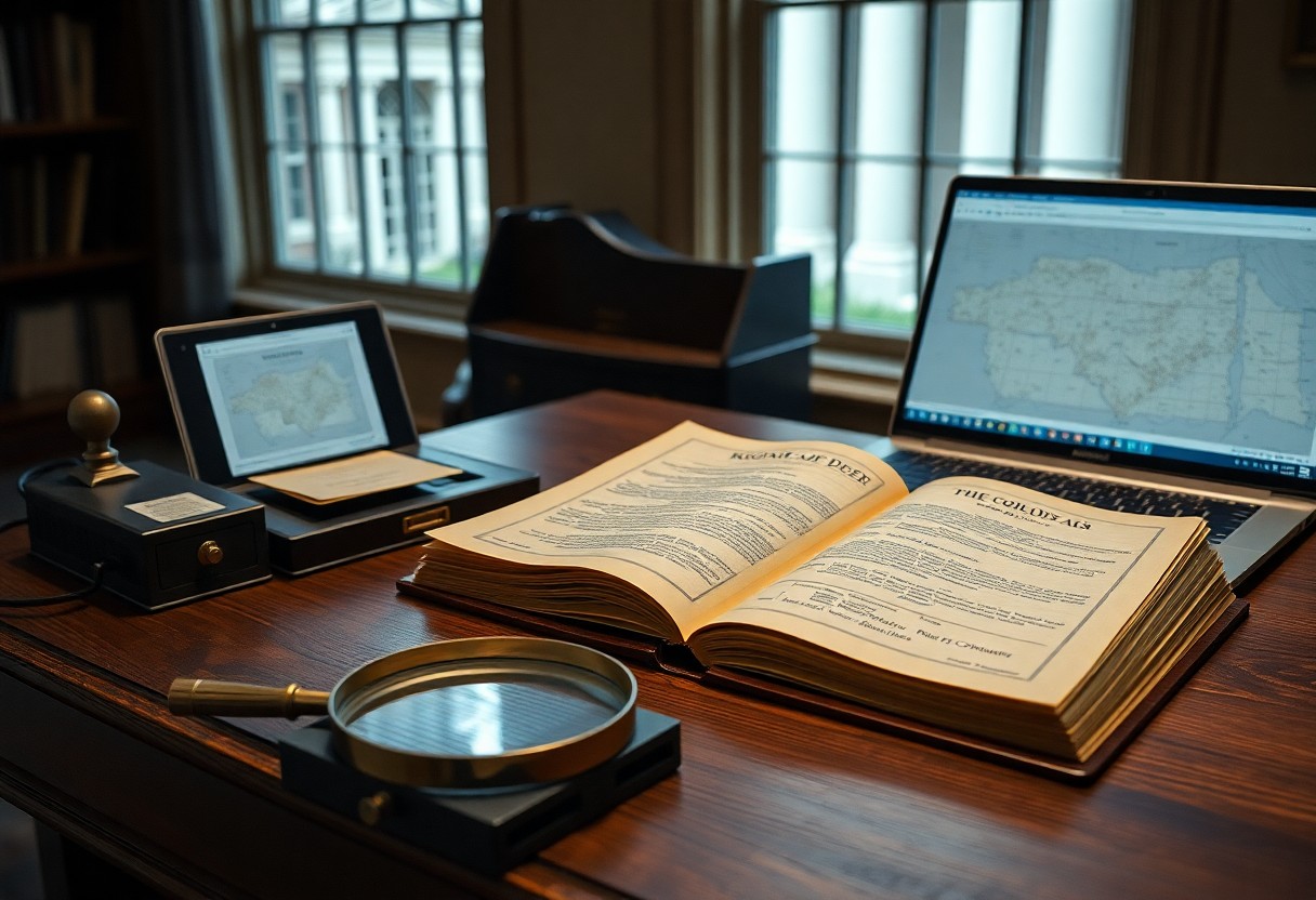
Accessing Consolidated Real Property Records
Consolidated parcel files let you pull deeds, tax cards, and plat maps together so you can review ownership history and overlapping records without flipping between offices.
You can often access consolidated files by searching county GIS viewers, Register of Deeds portals, or tax office databases with a parcel ID; if online access is limited, ask the clerk for a compiled packet, provide the parcel number and date range, and expect modest copying or retrieval fees and possible wait times.
Using the North Carolina State Archives
Access the State Archives’ online catalogs and on-site stacks to pull rare deeds, plats, probate files, and correspondence that reveal obscure ownership chains you won’t find in county databases; staff can guide you to manuscript collections and microfilm rolls.
Secretary of State Land Grant Files
Search Secretary of State land grant files for original patents, survey plats, and clerical notes; you can order copies or examine microfilm to trace pre-1800 title transfers and administrative annotations often absent from local records.
Colonial and Revolutionary War Warrant Records
Consult Colonial and Revolutionary War warrant records for service-related claims and early settlement warrants; you can link warrant numbers to later grants and identify parcels awarded to soldiers or settlers.
Records often include warrant dates, numbers, surveyor names, measured acreage, and terse boundary descriptions; you can cross-reference muster rolls, bounty lists, early tax rosters, and county court minutes at the Archives to reconstruct chain-of-title, locate heirs, and clarify boundary disputes that persist in modern deeds.
Utilizing the NC Land Grant Images Project
NC Land Grant Images Project hosts scanned grant patents and plats that let you trace early ownership across counties, offering searchable images and citation details for deeper research.
Digital Access to Historical Plat Maps
Online plat map collections link surveyed boundaries to modern parcels so you can compare historic tracts with current maps and note changes over time.
Deciphering Metes and Bounds in Early Surveys
Interpreting metes and bounds descriptions helps you convert directional calls and distances into visible lines on modern maps using reference points and bearings.
You should use original witness trees, road names, and natural features to anchor metes-and-bounds descriptions; convert chains to feet and plot bearings with a compass rose to reconstruct boundaries accurately.
Investigating Civil Action and Probate Records
Court files and probate dockets can reveal hidden conveyances, liens, and disputes; you can search county clerk offices and online indexes to trace obscure chains of title and litigation affecting property.
Estate Settlements and Partition Suits
Estate settlement records and partition suit files often disclose heirs, surveys, and division orders; you should check clerk of court archives and newspaper notices to find how ownership was split or contested.
Superior Court Judgment Dockets
Judgment dockets list liens and money judgments that can cloud title; you can search superior court records to identify creditors and recorded judgments affecting parcels.
Records often include docket numbers, dates, and lien amounts; you can use book-and-page citations at the county register of deeds or state online databases to pull full judgments, then cross-reference deed records to see whether liens were released.
Specialized Historical and University Collections
Specialized archives at universities and historical societies hold deeds, maps, and correspondence you won’t find online, helping you trace obscure ownership, title transfers, and boundary descriptions across North Carolina properties.
The Southern Historical Collection at UNC-Chapel Hill
UNC’s Southern Historical Collection houses manuscript groups, estate papers, and map collections you can consult for plantation records, surveyor notes, and legal correspondence tied to property ownership in the region.
Private Family Papers and Plantation Ledgers
Family papers and plantation ledgers frequently contain handwritten deeds, account books, and tenant records you can use to confirm chain of title and familial transfers.
Accessing these materials often means contacting university libraries, county archives, or descendants to request finding aids, appointment times, and copying permissions. Archivists can guide you to bundled ledgers, estate inventories, and correspondence, and may provide digitized surrogates or access conditions. You should be prepared to decipher cursive, cross-check names against county deed books, and note citation details; expect occasional privacy or donor restrictions and consider a local researcher if needed.
Mapping Tools and Geographic Information Systems
Municipal and state GIS portals let you overlay parcels, easements, and historical layers so you can identify obscure ownership records missed in deed searches.
County GIS Portals and Tax Mapping
Search county GIS portals to view parcel layers, assessor records, scanned plats, and tax maps that reveal boundary changes, annotations, and adjacent ownership links.
Historical Aerial Photography and Soil Surveys
Access aerial-photo archives and soil surveys to compare past field boundaries, structures, and drainage patterns against current parcels for hidden ownership clues.
Historic aerials from state archives, USGS, and university collections let you visually track parcel evolution; you can georeference images in a GIS to align old features with modern parcels. Soil surveys from NRCS and county conservation offices indicate historical land use and drainage that often explain older boundary lines. If images aren’t online, request scans from county clerks or the State Archives and compare map dates to deed records for confirmation.
Final Words
Now you can access obscure North Carolina land ownership records at county registers of deeds, the NC State Archives, local historical societies, university libraries, and online databases; request deeds, plats, probate and tax records, and consult clerks for unindexed or older documents.