
Tag: Parcels
-
What Secrets Do North Carolina County Parcel Maps Quietly Reveal?
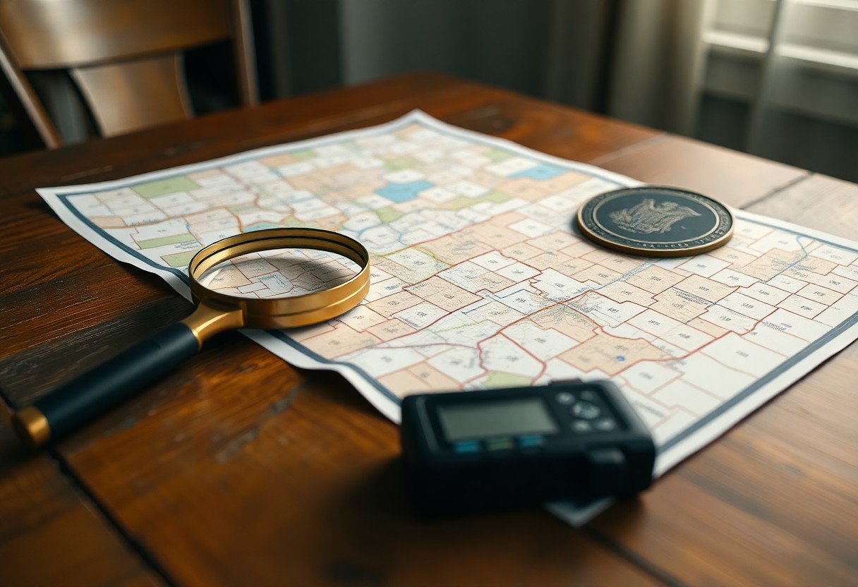
With county parcel maps, you can identify property boundaries, ownership history, zoning, easements, and hidden development trends that influence value and legal risk. The Architecture of North Carolina GIS Systems You see GIS architecture binding county databases, aerial imagery, tax records, and parcel boundaries into layered services that let you query ownership, zoning, and infrastructure Read more
-
Why Should You Save Property Parcels Online When Managing Multiple Florida Projects?
Many Florida projects benefit when you save property parcels online; you gain centralized access, faster site comparisons, reduced travel, and simpler permit tracking across multiple jobs. Centralizing Florida Land Data for Scalability Centralizing Florida parcel records online lets you scale across projects by standardizing formats, reducing duplicate searches, and enabling faster site-selection decisions. Navigating 67 Read more