
Property maps in the North Carolina GIS give you parcel boundaries, zoning, floodplain and utility data, ownership records, and topography so you can assess site suitability, identify legal constraints, and plan informed acquisitions.
Centralizing Comprehensive Property Data
The North Carolina GIS property map consolidates parcel boundaries, ownership records, tax assessments, zoning, flood zones and aerial imagery into one searchable interface, so you can compare properties quickly and make informed site-selection decisions.
Real-Time Access to County Records
Accessing county records through the GIS map lets you pull current deed, tax and permit data instantly, reducing guesswork when evaluating ownership, liens or development history.
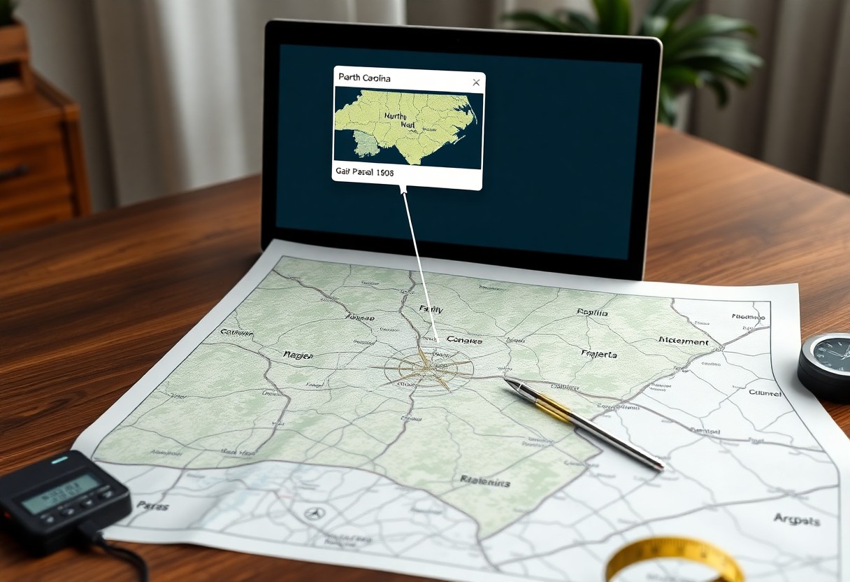
Navigating the Interactive Mapping Interface
You can pan, zoom and query layers to inspect parcel lines, measurements, land use and utilities, helping you spot boundaries and constraints before site visits.
Layers let you toggle cadastral, aerial, zoning and floodplain overlays while search tools find parcels by owner, address or PID; you can measure distance and area, add markers, export data, compare historical imagery, and generate parcel reports to assess suitability before contacting sellers.
Verifying Precise Property Boundaries
Maps on the NC GIS let you confirm legal corners, deed lines, and survey points so you can avoid boundary disputes.
Determining Parcel Dimensions and Acreage
You can query parcel attributes to obtain exact dimensions and acreage, matching deeds and tax records for precise site planning.
Identifying Overlaps, Encroachments, and Easements
Using parcel overlays and recorded easement layers, you can spot overlaps, potential encroachments, and public access corridors before purchase.
Cross-checking GIS layers against deed plats and field surveys helps you quantify overlap extents, document encroachment risks, and flag easement conditions for legal review.
Assessing Environmental and Topographical Constraints
Assessing these constraints through the NC GIS Property Map helps you spot steep slopes, conservation easements, and regulated setbacks before visiting sites, cutting costly surprises and guiding feasible property selection.
Analyzing Elevation and Terrain Contours
Elevation contours on the map let you assess slope, access difficulty, and build suitability, enabling informed decisions on road placement, grading needs, and foundation design.
Identifying Flood Zones and Protected Wetlands
Flood zone layers show regulatory floodways and base flood elevations so you can avoid high-risk parcels or plan mitigation and insurance requirements.
Maps combine FEMA flood data, local wetland delineations, and soil drainage information so you can evaluate permit limits, seasonal inundation, buffer setbacks, and coordinate with planners or engineers before making an offer.
Evaluating Zoning and Land Use Regulations
Zoning maps let you verify district classifications, overlays, and restrictions so you can assess compatibility with intended uses and spot potential conflicts before investing.
Confirming Permitted Uses and Development Restrictions
You can cross-reference parcel zoning, conditional uses, and special permits on the GIS map to confirm allowed activities and identify filing or variance requirements.
Understanding Local Setbacks and Building Codes
Setbacks and building-code layers show required distances from property lines, easements, and protected features, helping you estimate realistic building envelopes.
Measurements tools within the GIS enable you to calculate precise setback distances, maximum building footprints, and height limits; you should also verify floodplain designations, utility easements, and specific municipal code sections with the county planning office to identify permit triggers and design constraints.
Streamlining Financial and Ownership Due Diligence
You can use the GIS property map to consolidate ownership, parcel boundaries, recorded liens, easements, and tax history in one view, speeding up title checks and financial risk assessment before bids or offers.
Reviewing Historical Deed and Transfer Records
Examining historical deed layers on the map lets you trace title chains, spot transfers, easements, or gaps that may affect marketability before ordering abstracts or title insurance.
Accessing Current Tax Assessments and Valuations
Consult parcel tax layers to view assessed values, recent assessment changes, and tax status so you can estimate annual taxes and uncover delinquent accounts or special assessments.
When you compare assessed values against recent sales and overlay zoning, building footprints, and permits, the GIS exposes assessment anomalies, exemptions, or tax-district differences; you can export parcel reports, note millage rates, review payment histories, and provide exact parcel IDs to the county assessor for quicker appeals or clarification.
Analyzing Infrastructure and Accessibility
Assessing infrastructure layers in the NC GIS property map helps you weigh access costs, permitting constraints, and realistic development potential at a glance.
Mapping Road Frontage and Utility Connectivity
Mapping road frontage and visible utility lines within the viewer lets you confirm access points, easement limits, and probable connection locations so you can estimate frontage value and hookup expenses.
Evaluating Proximity to Essential Services and Resources
Evaluating proximity to schools, hospitals, water sources and transit stops lets you prioritize parcels that lower travel times, emergency response risk, and ongoing service costs.
Use drive-time buffers, service-area layers, and utility network attributes to quantify access: you can calculate emergency response minutes, estimate extension and tap fees, identify underserved zones, and compare parcels by practical proximity rather than straight-line distance.