
Tag: GIS
-
What Arcane Details Can A GIS Property Search In Florida Reveal About Your Land?
Just one GIS property search in Florida can expose hidden details about your land, from flood zone classifications and elevation data to historical ownership patterns and zoning restrictions. You gain access to precise parcel boundaries, tax assessments, and environmental overlays that influence land use decisions. These insights help you make informed choices backed by authoritative Read more
-
Why Is The North Carolina GIS Property Map Indispensable For Land Seekers?
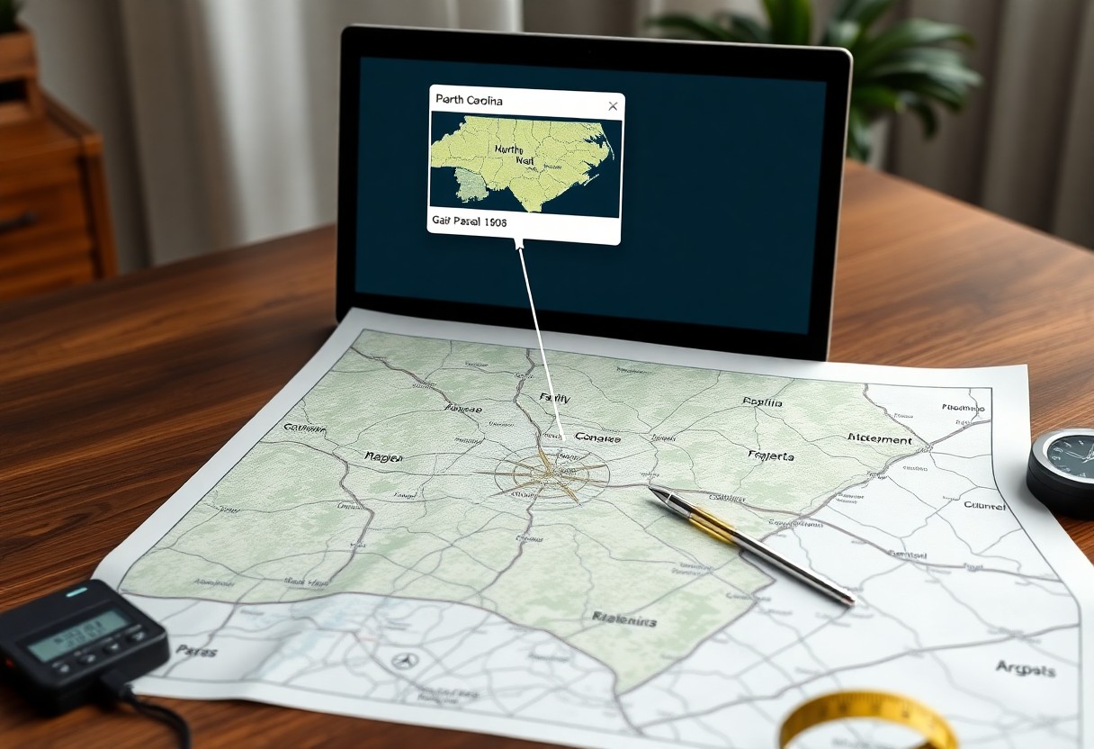
Property maps in the North Carolina GIS give you parcel boundaries, zoning, floodplain and utility data, ownership records, and topography so you can assess site suitability, identify legal constraints, and plan informed acquisitions. Centralizing Comprehensive Property Data The North Carolina GIS property map consolidates parcel boundaries, ownership records, tax assessments, zoning, flood zones and aerial Read more
-
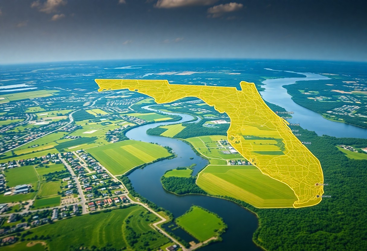
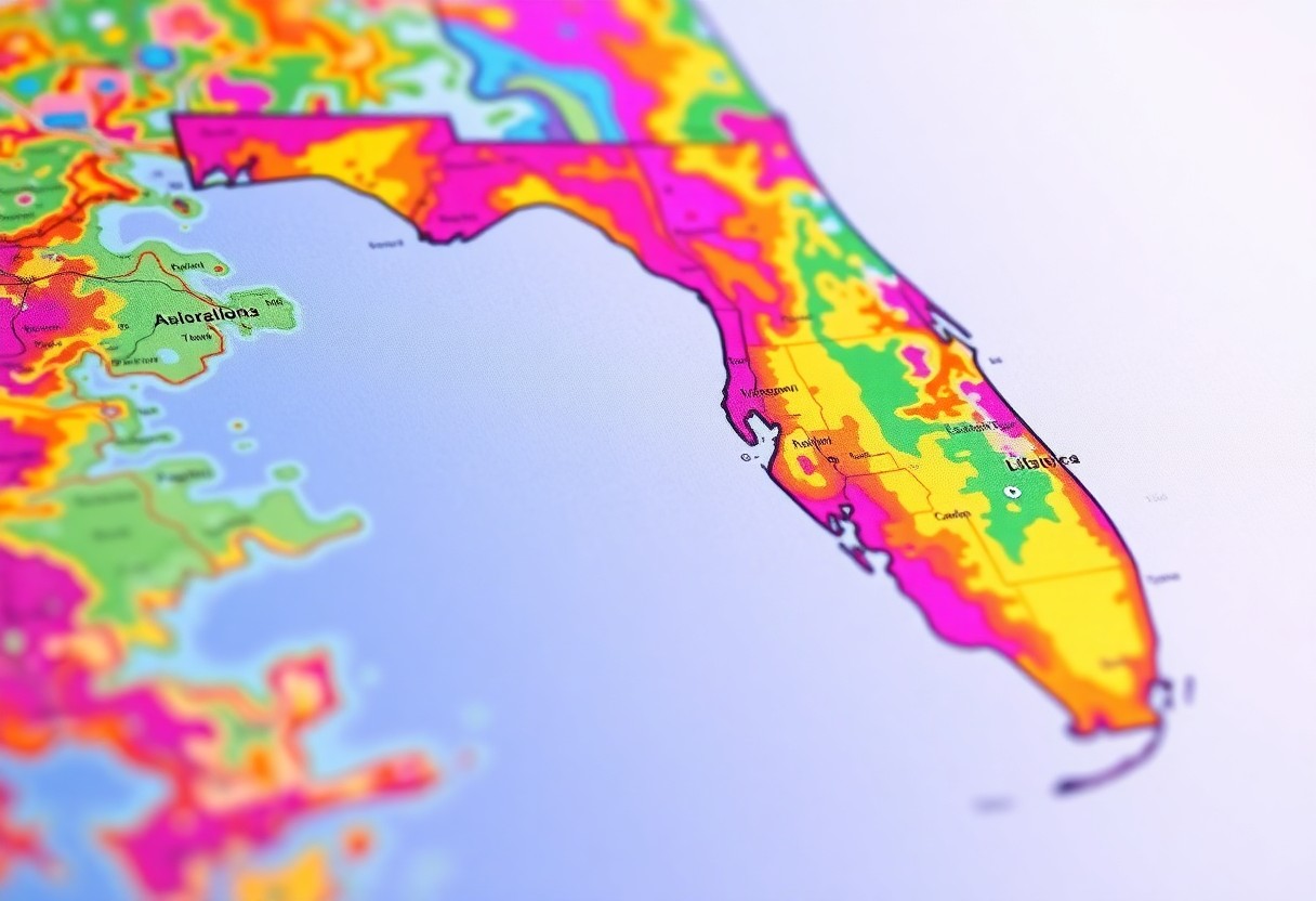
How Can Florida’s GIS Parcel Maps Unveil Hidden Property Lines?
Over Florida’s GIS parcel maps, you can pinpoint cadastral boundaries, easements, and survey markers, compare public records with aerial imagery, and detect encroachments or discrepancies before you buy, build, or dispute ownership, giving you precise, actionable property insights. The Architecture of Florida’s GIS Framework Structure of Florida’s GIS ties parcel layers, cadastral surveys, and aerial Read more
-
Can A Digital GIS Reveal The True Borders Of Your Florida Land?
GIS combines cadastral records, aerial imagery, and survey data to map probable Florida property boundaries, but you should confirm results with a licensed surveyor and county records for legal accuracy. The Mechanics of GIS in Florida Real Estate This explains how GIS constructs parcel boundaries and what you should check when reviewing Florida property maps. Read more
-
How Can You Harness Florida’s GIS Systems To Illuminate Property Secrets?
Just use Florida’s GIS systems to pinpoint zoning, flood risk, historical permits and parcel boundaries, giving you clear, actionable property insights. Navigating the Florida GIS Ecosystem You can use state GIS portals for broad datasets and county systems for parcel specifics; combine both to confirm zoning, flood zones, easements, and tax data so you spot Read more
-
How-To Combine Public GIS And Property Lines Apps For Florida Land Insights
Most landowners and investors in Florida can unlock valuable insights by effectively combining public GIS data with property lines applications. This guide will walk you through the steps to streamline your property research process, empowering you to make informed decisions about land use, purchasing, and development. By leveraging these tools, you can gain a clearer Read more
-
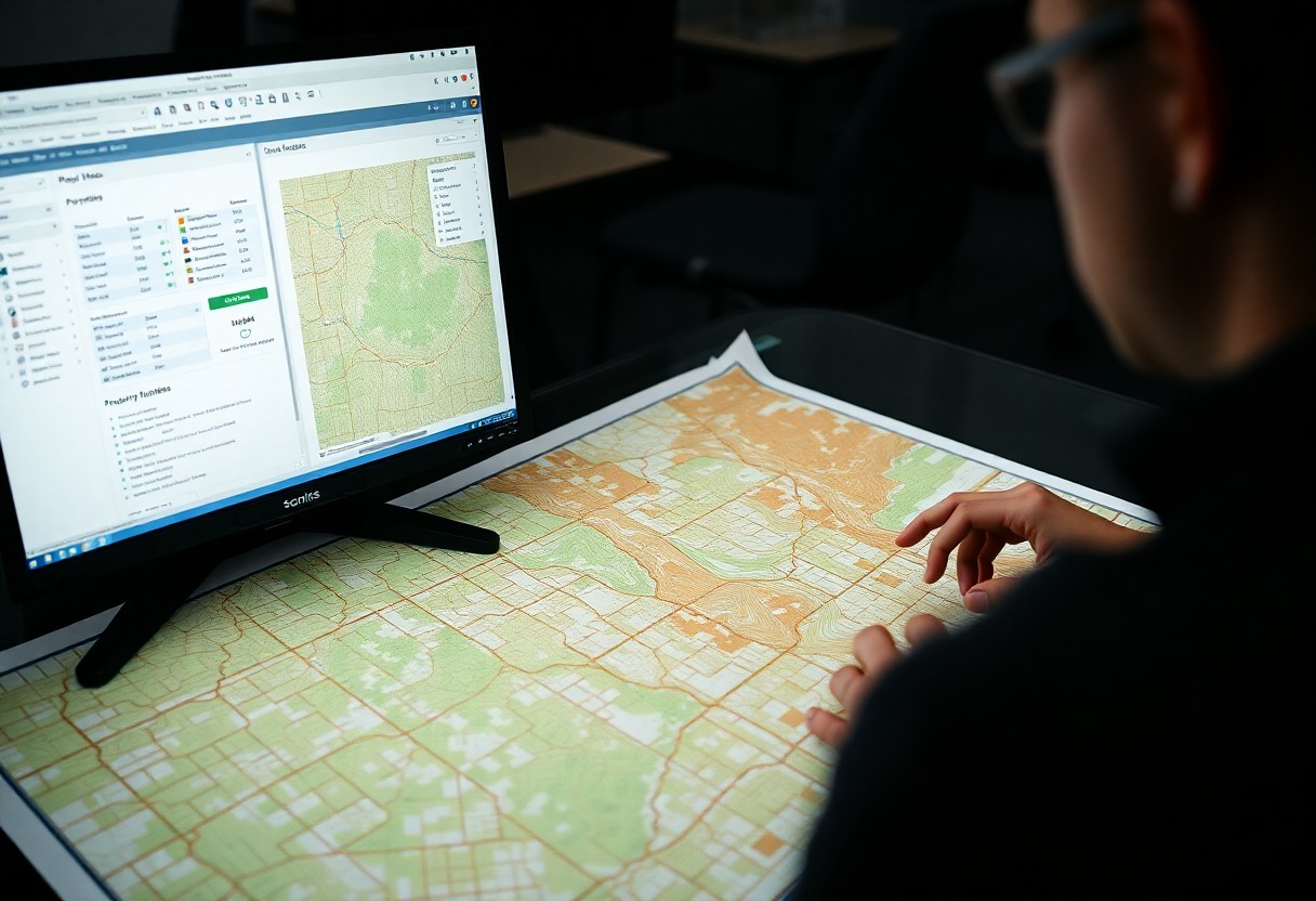
How Do You Compare Similar Polygons In A Parcel Using GIS Tools?

Just as you explore the complexities of land parcels, comparing similar polygons using GIS tools becomes important for effective analysis. By leveraging these powerful tools, you can assess spatial relationships, identify patterns, and make informed decisions regarding land use and development. This guide will walk you through various techniques and GIS software functionalities that enable Read more
-
Search Henderson County Property Lines and Land Records with GIS Tools
It’s crucial to understand how to effectively search for property lines and land records in Henderson County using Geographic Information System (GIS) tools. These powerful online resources can provide you with detailed maps and data, helping you make informed decisions regarding property ownership and management. By utilizing these tools, you can easily access valuable information Read more
-
How Can GIS Mapping Tools Assist In Understanding Property Lines In North Carolina?
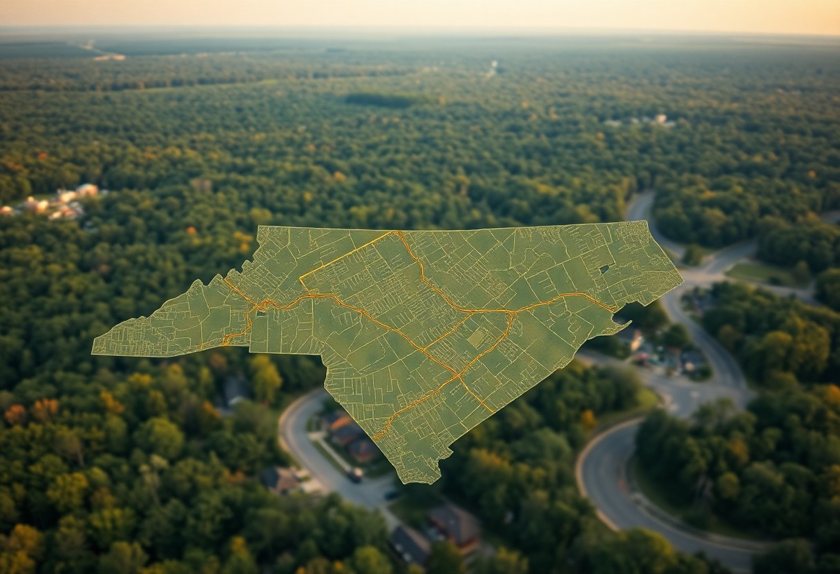
Just when you thought navigating property lines in North Carolina was complicated, GIS mapping tools come to the rescue. These advanced technologies empower you to visualize and comprehend the boundaries of your property with precision. Whether you’re a homeowner, investor, or real estate professional, understanding how to leverage these tools can provide clarity in property Read more
-
GIS property map Florida
Property mapping in Florida has evolved into a sophisticated tool that can significantly enhance your understanding of land use and real estate. By utilizing Geographic Information Systems (GIS), you can access detailed property maps that provide insights into zoning, parcel boundaries, and geographical features. This resource allows you to make informed decisions regarding buying, selling, Read more