
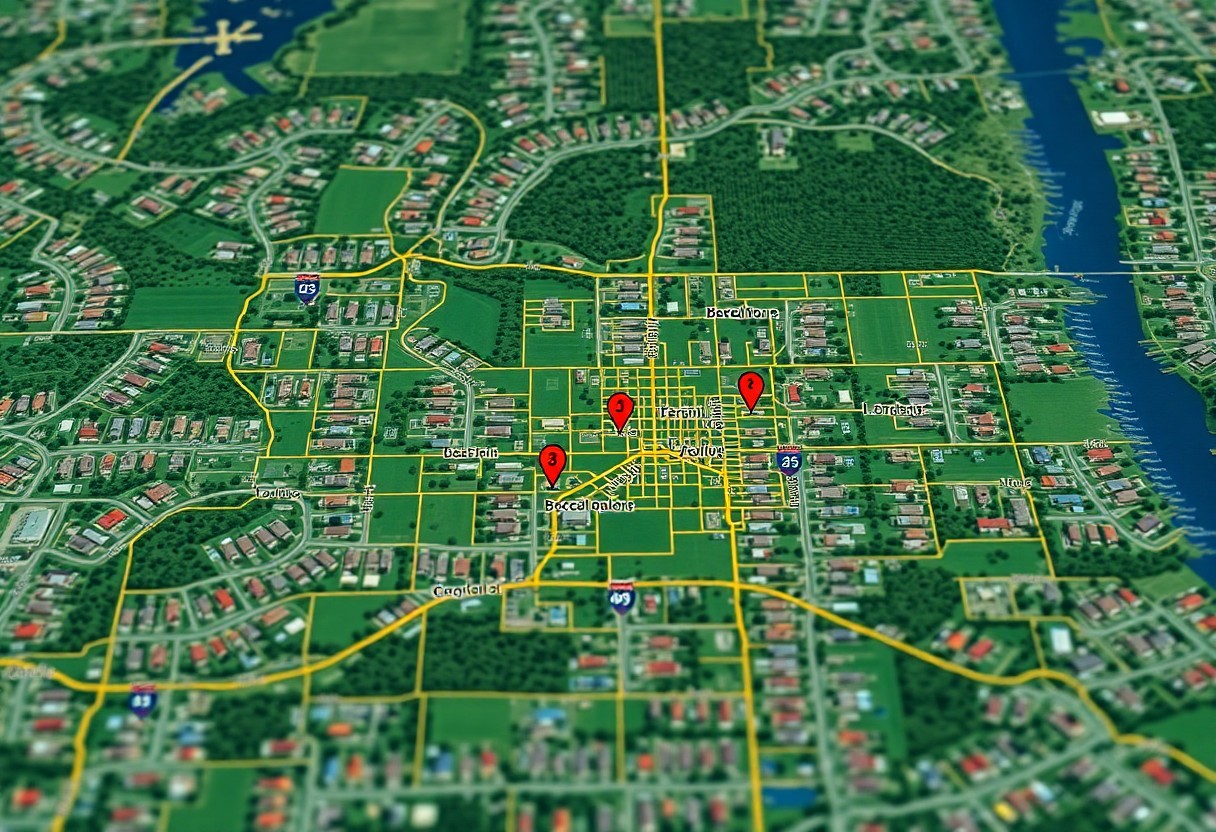
Category: Parcel Boundaries
-
How Can You Decipher Hidden Property Lines In North Carolina Like A Pro?
Many property boundaries in North Carolina are unclear, and you can decode them using survey records, boundary markers, GPS tools, and local ordinances; consult a licensed surveyor when disputes arise. Navigating North Carolina’s Public Land Records County public records give property deeds, surveys, and easements; you can use them to trace boundaries, confirm ownership, and Read more
-
Is There A Free And Reliable Way To Pinpoint Parcel Boundaries In North Carolina?
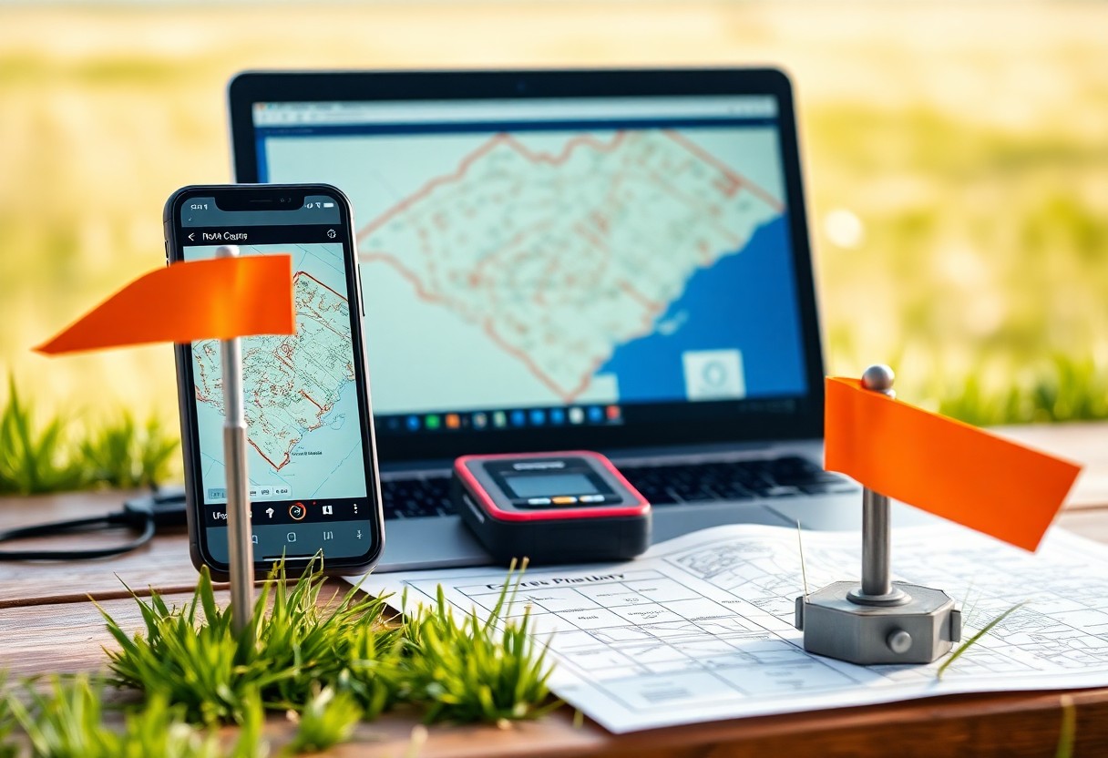
boundaries in North Carolina can often be located using free county GIS maps, NC OneMap, and recorded deeds, but you should confirm precise lines with deed descriptions or a licensed surveyor when accuracy matters. Statewide GIS Infrastructure and NC OneMap NC OneMap consolidates statewide parcel footprints, aerial imagery, and cadastral layers so you can cross-reference Read more
-
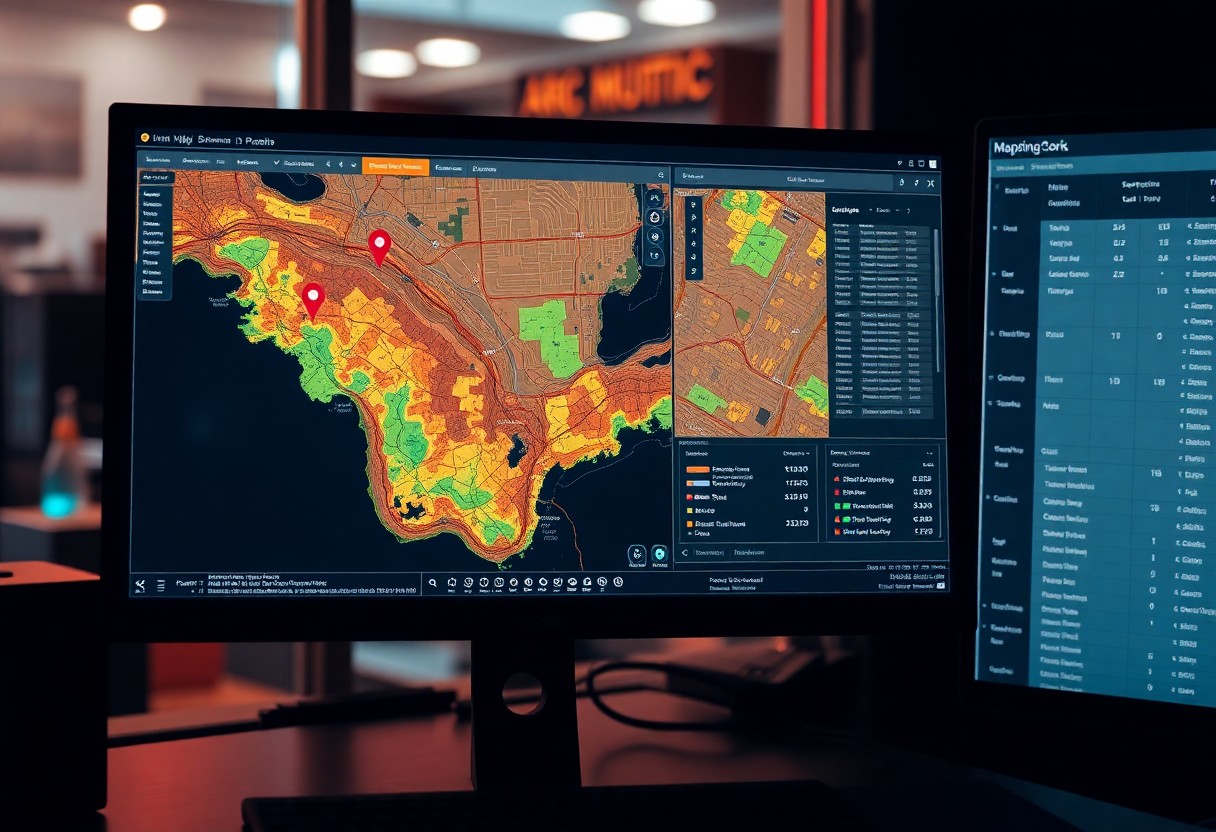
How Can Florida’s GIS Parcel Maps Unveil Hidden Property Lines?
Over Florida’s GIS parcel maps, you can pinpoint cadastral boundaries, easements, and survey markers, compare public records with aerial imagery, and detect encroachments or discrepancies before you buy, build, or dispute ownership, giving you precise, actionable property insights. The Architecture of Florida’s GIS Framework Structure of Florida’s GIS ties parcel layers, cadastral surveys, and aerial Read more
-
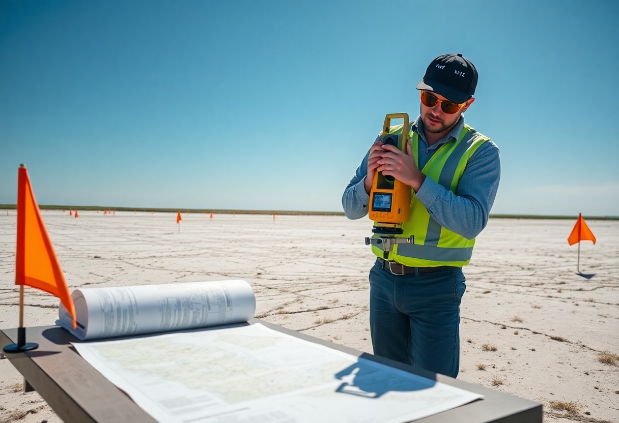
Can A Digital GIS Reveal The True Borders Of Your Florida Land?
GIS combines cadastral records, aerial imagery, and survey data to map probable Florida property boundaries, but you should confirm results with a licensed surveyor and county records for legal accuracy. The Mechanics of GIS in Florida Real Estate This explains how GIS constructs parcel boundaries and what you should check when reviewing Florida property maps. Read more
-
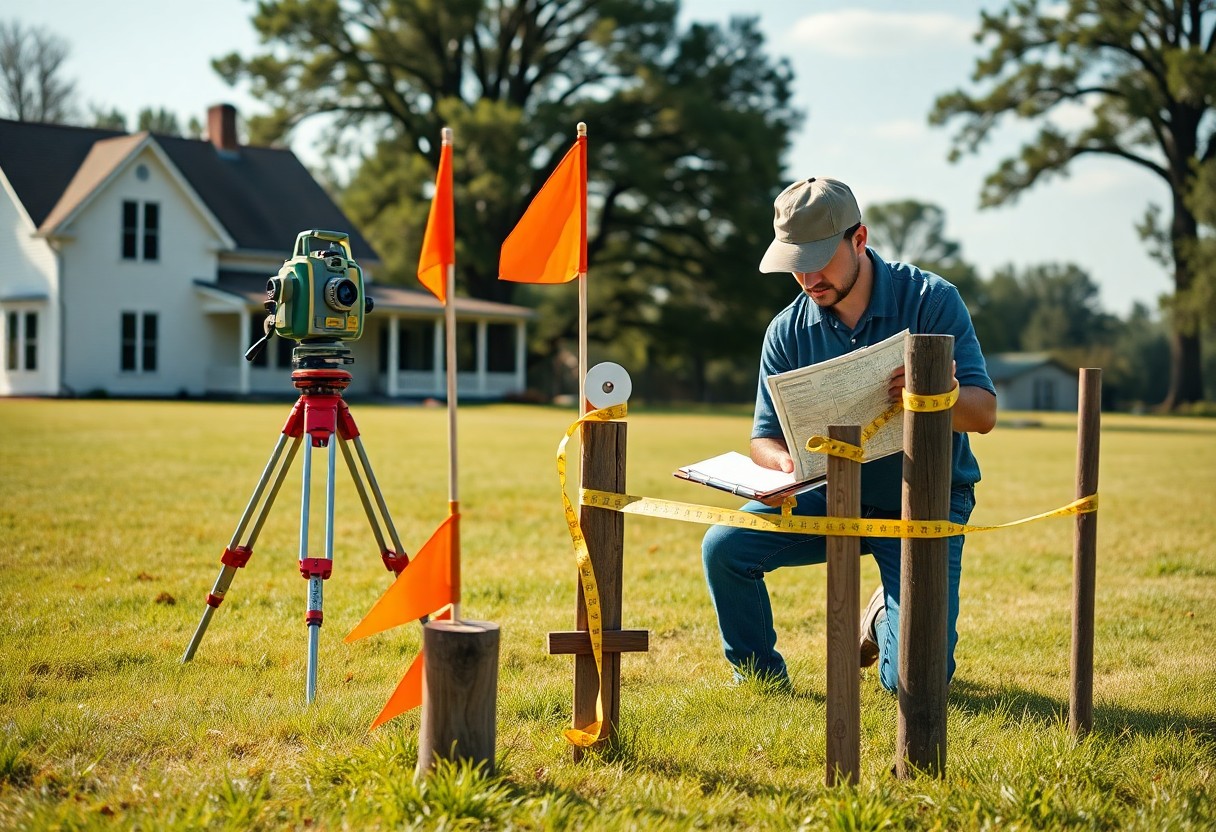
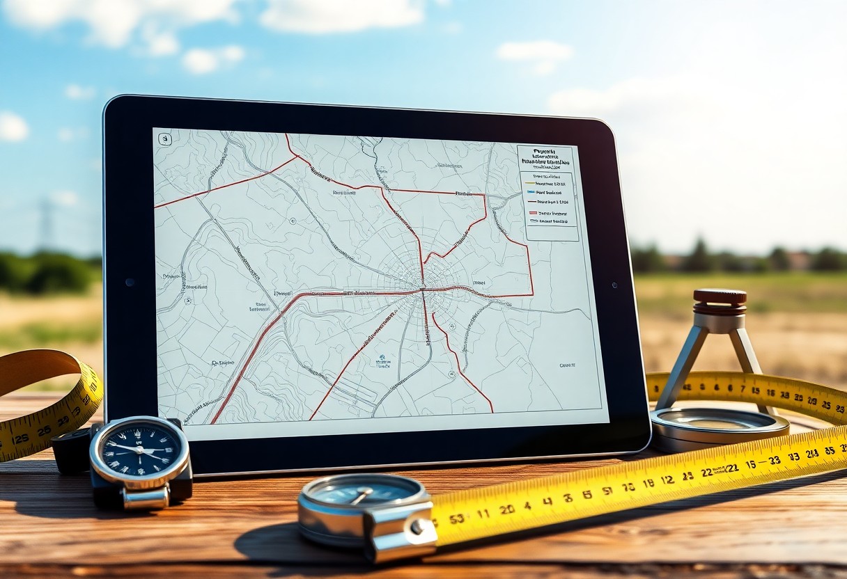
What Are The Most Overlooked Techniques For Finding Property Lines In North Carolina?
Overlooked deed descriptions, witness trees, and surviving survey markers can help you verify property lines in North Carolina; use public records, physical checks, and angle/distance comparisons so you can assess boundaries confidently before a professional survey. Navigating the North Carolina Register of Deeds Accessing the Register of Deeds in your county lets you retrieve deeds, Read more
-
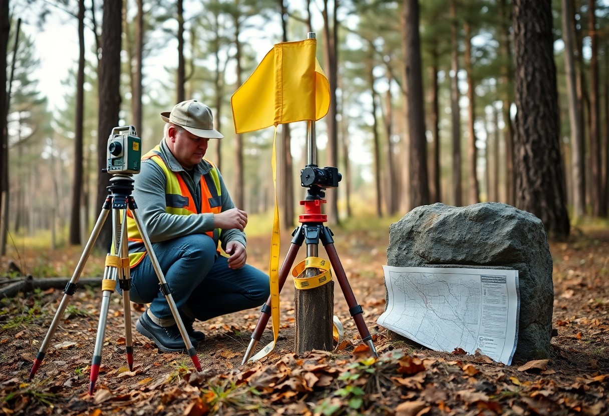
What Obscure Methods Expose Property Lines In Remote Florida Parcels?
Property lines on remote Florida parcels can be exposed using aerial imagery, old plat maps, on-site markers and GPS surveys; you should cross-check county records and hire a licensed surveyor for legal certainty. Deciphering Historical Florida Survey Markers Survey notebooks and fading blaze marks help you pinpoint original corner calls, letting you reconcile old bearing Read more
-
How-To Check Property Boundaries Before You Buy Florida Land
This guide will help you understand the necessary steps to verify property boundaries before purchasing land in Florida. Knowing the exact limits of your potential property can save you from disputes and ensure you make a well-informed investment. You’ll learn about necessary tools and resources, as well as best practices for assessing boundary lines effectively. Read more
-
How Can You Easily Find Property Lines And Parcel Details In Broward County?
Over time, understanding property lines and parcel details has become imperative for homeowners and prospective buyers in Broward County. You can easily access this important information through online resources and county offices, enabling you to make informed decisions regarding your property. By utilizing tools like interactive maps, public records, and county websites, you can determine Read more
-
Which Parcel Coordinates Finder Is Best For Mapping Similar Polygons?
Parcel mapping is imperative for accurately analyzing and comparing land shapes and boundaries. When you need to assess similar polygons, selecting the right coordinates finder can enhance your efficiency and precision. This guide will help you explore the best tools available, enabling you to make informed decisions while ensuring that you achieve accurate results in Read more
-
Can Property Lines And Boundary Maps Be Verified With A Free Coordinates Finder?
Most property owners are often uncertain about the accuracy of their property lines and boundary maps. You may wonder if a free coordinates finder can help validate this information. This post will explore how these tools work, their reliability, and what you should consider when verifying property lines, empowering you to make informed decisions about Read more