
boundaries in North Carolina can often be located using free county GIS maps, NC OneMap, and recorded deeds, but you should confirm precise lines with deed descriptions or a licensed surveyor when accuracy matters.
Statewide GIS Infrastructure and NC OneMap
NC OneMap consolidates statewide parcel footprints, aerial imagery, and cadastral layers so you can cross-reference county records and public datasets to identify likely boundary lines without cost.
Navigating the NC Parcel Project Database
Using the NC Parcel Project database, you can query by owner, PID, or address, preview parcel shapes, and download county layers for local verification.
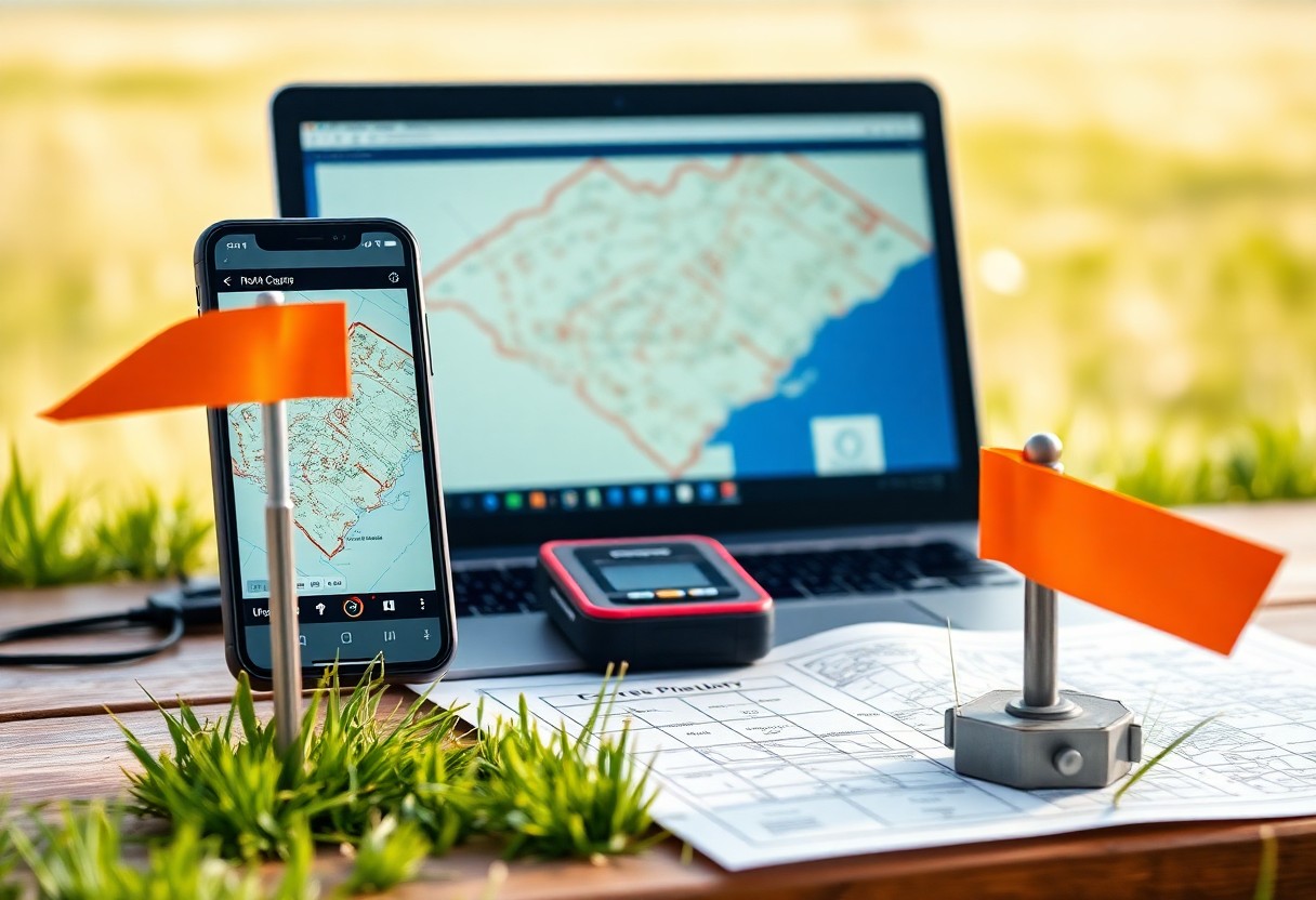
Leveraging Multi-Agency Data Integration
Interagency data from tax assessors, DOT, USGS, and FEMA helps you compare ownership, roads, elevation, and floodplain overlays against parcel geometry to spot inconsistencies.
By overlaying assessor polygons, address points, aerial imagery, and LiDAR-derived contours, you can trace discrepancies to mapping errors or tax parcel misalignment. You should check metadata timestamps and source authority to judge which layer is most current. When legal precision is required, confirm findings with county deed records or a licensed surveyor.
County-Specific Tax Mapping Portals
County portals often host parcel maps tied to tax data; you can use them to view boundaries, acreage, and owner info, with printable parcels and simple measurement tools.
Accessing Interactive GIS Viewers by Jurisdiction
Many counties provide interactive GIS viewers you can pan, zoom, toggle layers, and overlay aerial imagery to confirm parcel lines and easements.
Utilizing Online Registry of Deeds Search Tools
Local registry sites let you search deed descriptions and recorded plats, helping you match legal descriptions with mapped boundaries you see in tax maps.
Deeds sites often include scanned instruments and plats you can download; search by owner, parcel ID, or deed book/page to find metes-and-bounds descriptions and survey references. You can compare deed calls to GIS parcel lines, note recorded easements or boundary adjustments, and request certified copies or full-size plats from the Register of Deeds when a high-resolution survey is needed.
Free Third-Party Mapping and Visualization Platforms
You can use free platforms such as QGIS Cloud and public tile services to load county parcel layers, toggle basemaps, and visually compare boundaries against orthophotos for initial boundary assessment.
Integrating Parcel Layers with Google Earth Pro
Google Earth Pro lets you import county KML/KMZ parcel exports, adjust layer opacity, and measure distances to assess boundary alignment with high-resolution aerial imagery.
Evaluating Consumer-Grade Mobile GPS Applications
Try consumer GPS apps to collect waypoint coordinates, but expect meter-level error, occasional signal drift, and variation between devices when comparing to official parcel corners.
Test apps against known control points and log HDOP, satellite count, device model, and environmental conditions to judge accuracy; use high-accuracy mode or an external Bluetooth GNSS receiver, capture multiple fixes for averaging, and compare results to county parcel corner coordinates or deed references, treating consumer fixes as indicative rather than survey-grade.
Evaluating Data Reliability and Legal Standing
Assessing data reliability and legal standing lets you determine when free GIS sources suffice or when a surveyed plat is required; compare declared accuracy, datum, and legal disclaimers before using parcel lines for transactions.
Understanding GIS Accuracy vs. Professional Land Surveys
You should treat GIS parcel lines as helpful guides with positional error often measured in meters, while licensed surveys define legal boundaries using monuments and recorded plats.
Interpreting Metadata and Record Update Frequencies
Check metadata for capture date, accuracy statements, projection, data source, and update cadence so you can judge whether the parcel data meets your legal or planning needs.
When you examine metadata, focus on positional accuracy metrics (RMSE or horizontal accuracy), collection method (RTK GNSS, differential GPS, photogrammetry), datum and projection, and the dataset’s last update date. County assessor datasets often prioritize tax parcels, not legal boundaries, while register-of-deeds plats record surveyed descriptions. If accuracy exceeds your tolerance-typically inches for boundary disputes, feet for planning-rely on a licensed surveyor and consult recorded plats. Missing or vague metadata lowers confidence; request source documentation from the county GIS office before relying on free parcel layers for transactions.
Navigating Physical and Digital Property Markers
Physical markers still matter; you should cross-check iron pins, fence corners, and satellite plats or GPS to confirm parcel lines.
Identifying Iron Pipes and Natural Boundaries
Pins at corners often persist; you should probe with a magnet or metal detector, note adjacent trees or streams, and document any discrepancies against county records.
Interpreting Metes and Bounds Descriptions
When you parse metes and bounds, follow each call sequentially, plot distances and bearings, and reconcile them with visible monuments before assuming the boundary location.
Reading old surveys requires you to convert bearings to degrees, account for magnetic declination, check units and abbreviations, and cross-reference deed dates or certified plats when calls conflict with current markers.
Conclusion
From above you can use North Carolina GIS maps, county tax records, and free online tools together to approximate parcel boundaries, but for legal certainty you should consult surveyed plats or hire a licensed surveyor; these free methods provide reliable guidance for planning and general reference.