
Category: Parcel Boundaries
-
Search North Carolina Property Lines and Land Records with Earthplat.com
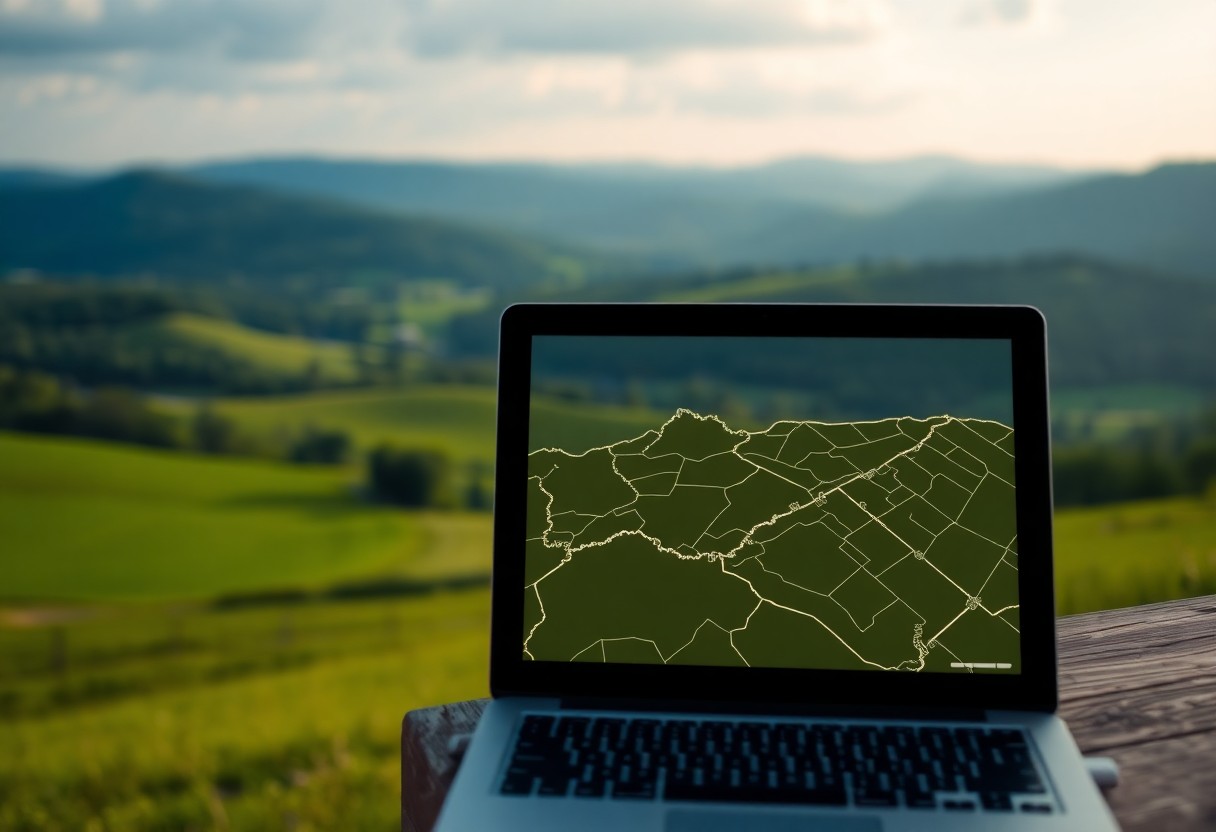
Just imagine having all the information you need about North Carolina property lines and land records at your fingertips. With Earthplat.com, you can easily access and search for detailed property information, ensuring that you stay informed about your land ownership and boundaries. This powerful tool simplifies the process of researching property lines, making it convenient Read more
-
Best property boundary map for title companies
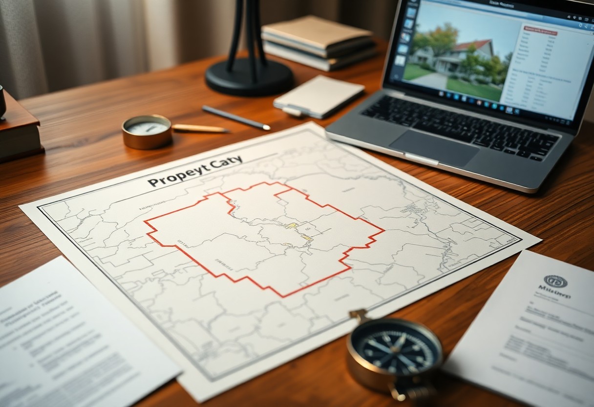
Property boundary maps play a vital role in ensuring accurate title searches and risk assessments. When you work in Florida, using the best property boundary map can help you verify land parcels efficiently and avoid costly errors. EarthPlat.com offers reliable, up-to-date boundary data tailored specifically for title companies like yours, making it easier to confirm Read more
-
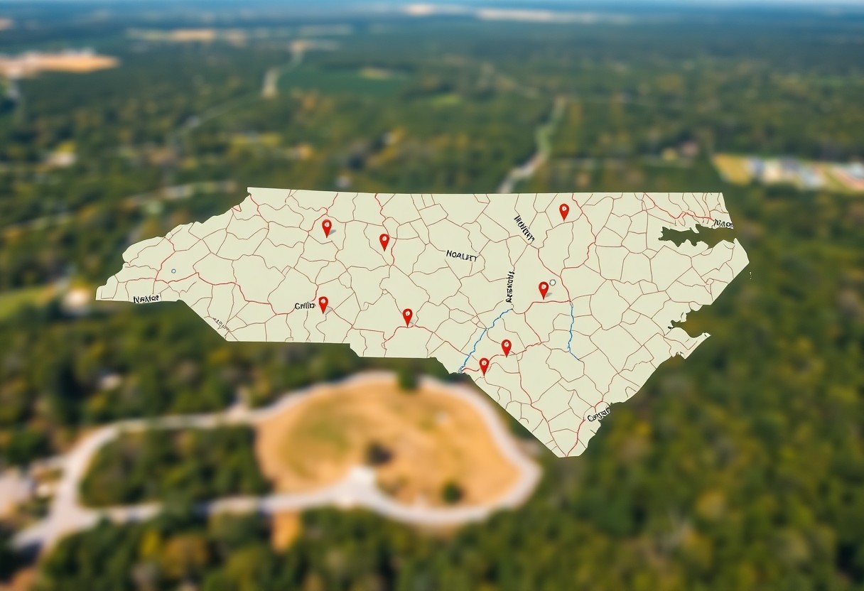
From Boundaries to Buyers – EarthPlat.com Empowers Real Estate and Land Experts in NC

Empower your real estate journey with EarthPlat.com, a platform designed specifically for real estate and land experts in North Carolina. Here, you can access powerful tools and resources to enhance your property management and marketing strategies. EarthPlat.com helps you efficiently navigate the complexities of the market, connecting you to potential buyers and enabling you to Read more
-
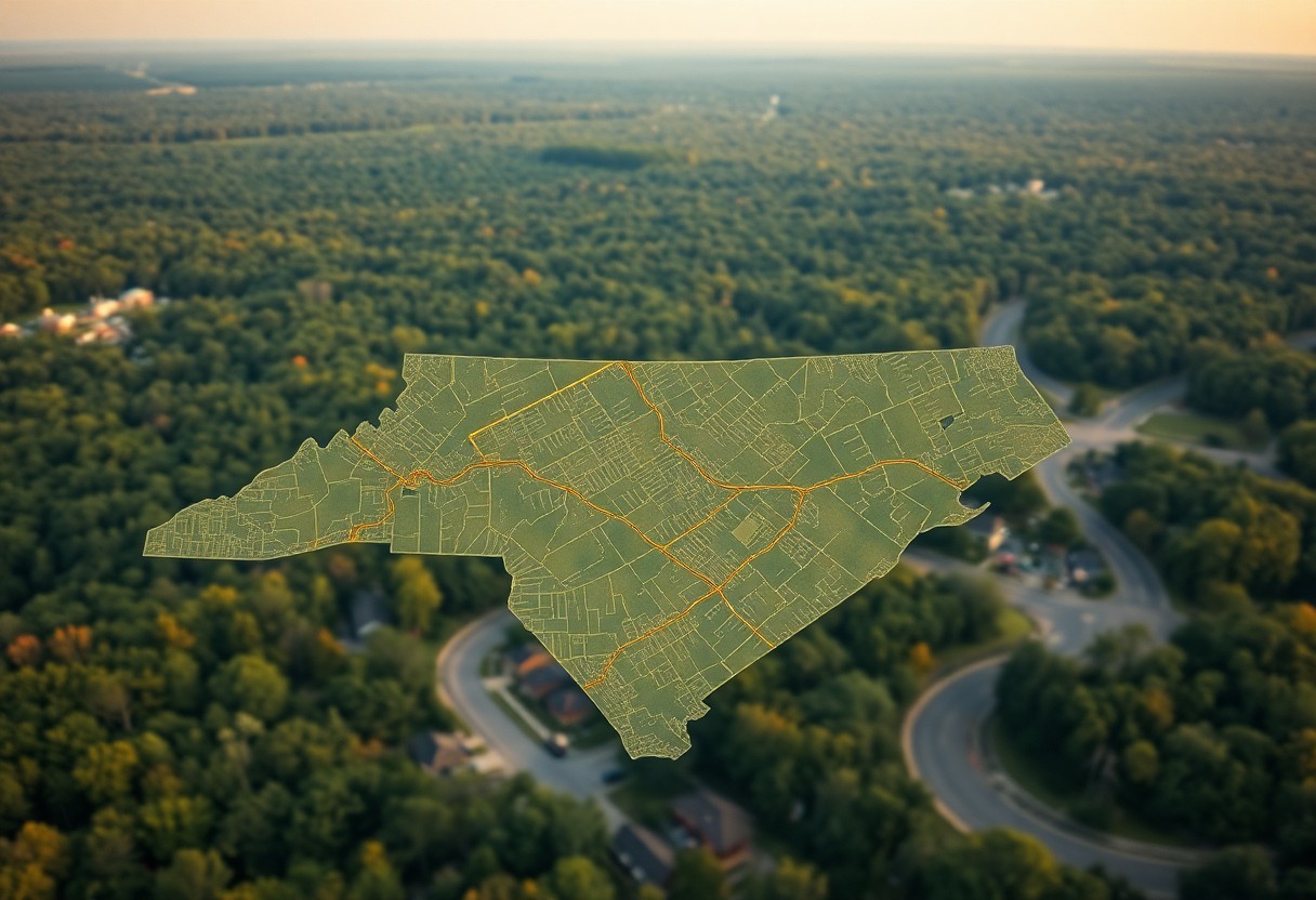
How Can North Carolina Plat Maps Help You Define Property Lines?
Most property owners in North Carolina find themselves needing clarity about their property boundaries at some point. Plat maps serve as important tools for you to accurately define your property lines, enabling you to understand the layout of your land and neighboring parcels. By examining these detailed representations, you can avoid disputes, make informed decisions Read more
-
Florida property lines map

Many property owners in Florida find themselves needing to understand their property lines for various reasons, from ensuring accurate land use to resolving neighbor disputes. A Florida property lines map can provide you with detailed information about your boundaries, easements, and adjacent properties. Whether you’re surveying land for development or simply seeking clarity about your Read more
-
How Do Property Lines Impact Your Real Estate Decisions In North Carolina?

Many potential homeowners and investors in North Carolina may not fully realize how property lines affect their real estate decisions. Understanding property boundaries is necessary, as they influence factors like zoning, land use, and future development plans. You need to consider how these lines can impact your property value, insurance requirements, and even neighbor relations. Read more
-
How Can GIS Mapping Tools Assist In Understanding Property Lines In North Carolina?
Just when you thought navigating property lines in North Carolina was complicated, GIS mapping tools come to the rescue. These advanced technologies empower you to visualize and comprehend the boundaries of your property with precision. Whether you’re a homeowner, investor, or real estate professional, understanding how to leverage these tools can provide clarity in property Read more
-
How Do Environmental Assessments Affect Property Lines In North Carolina?
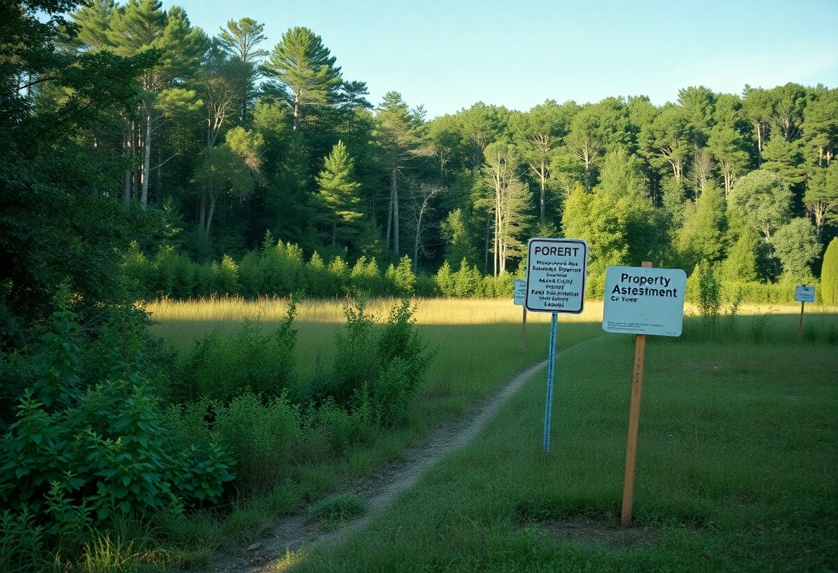
It’s important for you to understand how environmental assessments can impact property lines in North Carolina. These assessments are conducted to evaluate the potential environmental effects of proposed projects, and they can identify critical factors such as wetlands, floodplains, and endangered species habitats. As a property owner or prospective buyer, being aware of these assessments Read more
-
How Can You Use Market Analysis Reports To Evaluate North Carolina Property Lines?

Many property buyers and investors overlook the power of market analysis reports when evaluating property lines in North Carolina. These comprehensive documents provide insights into property values, local market trends, and competitive landscapes, allowing you to make informed decisions. By leveraging this data, you can better understand the dynamics of specific neighborhoods, assess the potential Read more
-
How to check property boundaries online

Most homeowners and prospective buyers find it important to understand property boundaries to avoid disputes and ensure proper use of their land. In today’s digital age, checking your property boundaries has become more accessible than ever, allowing you to obtain accurate information right from your computer or mobile device. This guide will walk you through Read more