
Most property owners in North Carolina find themselves needing clarity about their property boundaries at some point. Plat maps serve as important tools for you to accurately define your property lines, enabling you to understand the layout of your land and neighboring parcels. By examining these detailed representations, you can avoid disputes, make informed decisions about land use, and ensure compliance with local zoning regulations. In this blog post, we will explore how you can utilize plat maps to better manage your property rights and responsibilities.
Unpacking North Carolina Plat Maps: What They Reveal
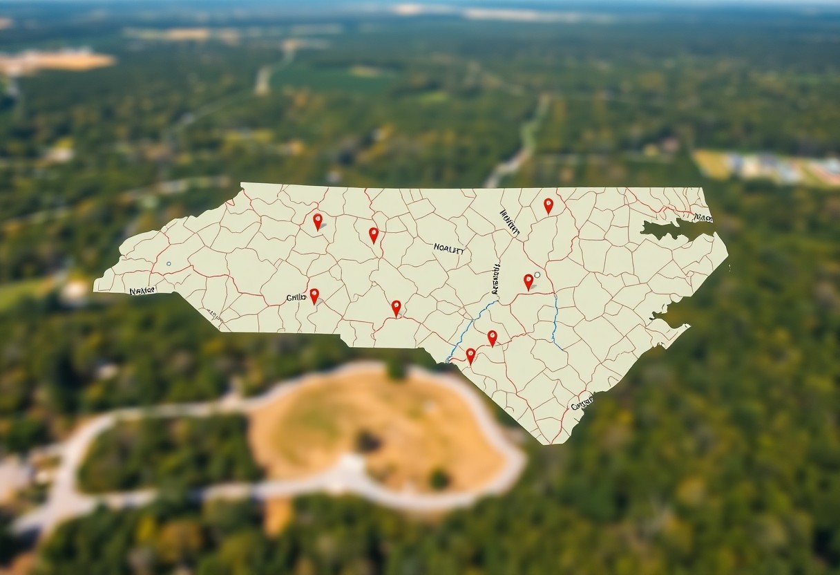
North Carolina plat maps are crucial resources that provide a detailed representation of land boundaries and property layouts. These maps not only illustrate the dimensions of your property but also reveal the surrounding landscape, including streets, easements, and the locations of nearby structures. By analyzing these maps, you can gain a clearer understanding of how your property fits within the greater context of the area, enabling you to make informed decisions regarding potential development, disputes, or sales.
The Components of Plat Maps
Plat maps typically include several key components such as property lines, measurements, and adjacent landowners. You’ll also find information on easements, roads, and any public rights-of-way that may exist. Understanding these elements can provide greater insight into your property’s dimensions and its relations to neighboring parcels, which is vital for resolving boundary disputes or planning modifications to your land.
The Legal Relevance of Plat Maps in Property Ownership
The legal implications of plat maps in property ownership are significant. These documents serve as official records in legal matters, helping to resolve disputes over property boundaries and ownership rights. When you acquire property, a thorough review of the plat map can inform you of any existing easements or restrictions that may affect your rights to develop or alter the land. Properly understanding the legal standing provided by these maps can protect you from potential liabilities in the future.
To expand further, plat maps can help you avoid future legal issues surrounding property lines. For example, if a neighbor encroaches on your property, a clear understanding of the plat can provide a solid basis for resolving the conflict legally. Additionally, when you plan any construction or modifications, consulting the plat can reveal any zoning regulations or restrictions, ensuring your projects align with local laws. Ultimately, these maps play a critical role in safeguarding your investments and securing your property rights.
Mapping Precision: How to Read and Interpret Plat Maps
Understanding plat maps is imperative for determining the precise boundaries of your property. These detailed illustrations provide not just the layout of land parcels, but also the locations of easements, roads, and other significant landmarks that influence property lines. Mastering how to read these maps will empower you to confidently navigate any potential disputes and make informed decisions regarding your land.
Key Symbols and Terminology Explained
Plat maps come with a specific set of symbols and terminologies that depict various elements of the property, such as lot numbers, boundaries, and roadway intersections. For instance, contour lines may indicate elevation changes while dashed lines often represent easements. Familiarizing yourself with these symbols is key to deciphering map details accurately. If uncertain, referring to the map’s legend can provide clarity.
Steps to Accurately Determine Property Lines
Establishing your property lines involves a systematic process. First, obtain a copy of your plat map and identify your parcel of land. Next, use physical markers or natural landmarks to reference the dimensions shown on the map. Lastly, compare your findings with neighboring properties, ensuring alignment with the recorded boundaries.
Begin by measuring from the corners of your lot as indicated on your plat map. Utilize a tape measure to confirm distances that are depicted on the map. Mark the boundaries using stakes or flags, which will help visualize your property lines. If discrepancies arise or if you’re dealing with irregularly shaped lots, consider consulting a land surveyor to ensure everything aligns correctly. Having an accurate understanding of your boundaries will not only prevent future conflicts but also enhance your property’s value.
Navigating Local Regulations and Variances
Understanding local regulations and variances is necessary when you are looking to establish your property’s boundaries based on plat maps. Zoning laws dictate how your land can be used and can influence your property lines, limitations on types of structures, and even setbacks. Being aware of these regulations helps you avoid fines or the need for costly adjustments later on.
Zoning Laws and Their Impact on Plat Maps
Zoning laws play a pivotal role in how property lines are defined and utilized. These regulations dictate what can be built on your land, including residential, commercial, or agricultural purposes. Familiarizing yourself with your local zoning ordinances allows you to interpret plat maps accurately, ensuring that your use of the land complies with municipal guidelines.
Understanding Easements and Setback Requirements
Easements and setback requirements are critical components directly affecting property lines. An easement might allow utility companies access across your land, while setback requirements establish how far structures must be from property lines. Knowing these details in advance can save you from potential disputes or legal issues as you plan your property’s development and layout.
Easements can vary in purpose, such as for utility access, drainage, or even pedestrian pathways. For instance, if your plat map indicates a public utility easement, you cannot build on that section of your property, which could impact where you place a driveway or structure. Similarly, setback requirements may differ based on zoning—residential areas often have stricter rules than commercial zones. Familiarizing yourself with these nuances not only ensures compliance but can also aid in future property improvements or landscaping initiatives, allowing you to maximize the use of your land without impinging on legal boundaries.
Real-Life Applications: Using Plat Maps for Property Disputes
Plat maps play a vital role in addressing property disputes by providing clear, visual representations of property boundaries and dimensions. Whether you’re dealing with encroachments, easements, or other boundary-related issues, these maps serve as authoritative documents that can clarify ownership lines. Utilizing plat maps during disputes can help you establish facts and support your claims, making them effective tools in negotiations and potential legal proceedings.
Resolving Boundary Conflicts with Neighbors
Finding a resolution to boundary conflicts often involves discussing plat maps with your neighbors. By reviewing these maps together, you can clarify misunderstanding about property lines and visually demonstrate where each property begins and ends. This collaboration fosters open communication and can lead to peaceful agreements, avoiding costly disputes or arbitration.
Engaging Surveyors and Legal Professionals
In more complex situations, involving professional surveyors and legal experts becomes necessary. Surveyors use advanced technology to create accurate depictions of property lines, while legal professionals can help interpret local laws related to boundaries. Their expertise ensures that you have a comprehensive understanding of your property rights and can effectively navigate disputes when needed.
Engaging surveyors involves hiring licensed professionals to perform a property survey, which provides precise measurements and details about your land. This foundational work can clear up any ambiguities and strengthen your position in a dispute. Additionally, having a legal professional review the plat map and survey results ensures you are prepared for any negotiations or litigation, armed with solid evidence of your property boundaries. Their experience can be invaluable, helping you understand the legal implications of your case and guiding you through the process of resolution.
Beyond Boundaries: The Role of Plat Maps in Land Development
Plat maps are indispensable tools for land development, offering detailed insights into the layout and dimensions of properties. They provide a comprehensive view of zoning classifications, easements, and right-of-ways, all of which can influence how you approach your development plans. By mapping out existing features and infrastructure, plat maps allow you to visualize potential land use, ensuring your project aligns with local regulations and project goals.
Planning for Future Expansion and Construction
Utilizing plat maps in your planning process allows for strategic foresight in land development. With precise boundaries and zoning details, you can effectively assess the potential for future construction or expansion on your property. This foresight enables you to make informed decisions about resource allocation, design possibilities, and necessary permits, thereby streamlining the development process.
Impact on Property Value and Investment Decisions
Plat maps significantly influence property value and investment choices by illustrating not just current use but also future potential. Knowledge of property lines, zoning classifications, and historical uses can guide your negotiation strategies and investment assessments, especially in competitive markets.
An understanding of how plat maps dictate property use, accessibility, and development potential can inform your investment strategy. For instance, a property located near up-zoned areas or planned infrastructure improvements can appreciate faster than comparable properties without similar advantages. Furthermore, knowing the exact dimensions and any easements on your property allows you to fully leverage your investment, maximizing both immediate and long-term returns. By integrating plat map information into your financial evaluations, you position yourself to make savvy investment decisions that align with growth trends in your market area.
To wrap up
Ultimately, North Carolina plat maps serve as a valuable resource for defining your property lines and understanding the layout of your land. By providing detailed visual representations of property boundaries, you can make informed decisions regarding your property, resolve disputes, and plan for improvements. Familiarizing yourself with these maps empowers you to assert your rights confidently and ensures you respect neighboring properties. Understanding plat maps can facilitate your navigation of property ownership in North Carolina effectively.