
Many property boundaries in North Carolina are unclear, and you can decode them using survey records, boundary markers, GPS tools, and local ordinances; consult a licensed surveyor when disputes arise.
Navigating North Carolina’s Public Land Records
County public records give property deeds, surveys, and easements; you can use them to trace boundaries, confirm ownership, and spot recorded encroachments with targeted searches at the register of deeds.
Accessing County Register of Deeds Databases
Online databases let you search by owner, parcel ID, or deed book; cross-check recorded plats and deed references to build a clear chain of title and locate recorded easements.
Interpreting Historical Plat Maps and Metes and Bounds
Historical plats and metes-and-bounds descriptions show original bearings, distances, and witness trees; you can translate those calls into modern coordinates using basic surveying principles.
When working from old plats, you should compare multiple editions, note magnetic versus true north references, convert chains and rods to feet, and reconcile ambiguous corner calls with modern GPS or a licensed surveyor’s retracement to avoid mislocated boundaries.
Identifying Physical Boundary Markers in the Field
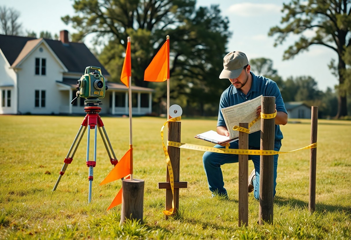
You should scan fence lines, monuments, and natural markers with your survey plat and GPS to confirm where property corners likely lie.
Locating Iron Pins, Concrete Monuments, and Stakes
Inspect soil near corner points for iron pins, concrete monuments, or wooden stakes; probe gently, follow bearing and distance from the deed or plat, and mark any found with temporary flags.
Deciphering Blazed Trees and Ancient Fence Lines
Study blazed trees, old fence posts, and hedgerows for consistent patterns and measure offsets to align them with recorded bearings and distances before assuming ownership lines.
Examine blaze patterns-single or double cuts, painted marks-and note tree species and wound age to estimate when markings were made. Compare measured offsets from blaze or fence to recorded corners on the plat; if markers conflict or appear altered, hire a licensed surveyor to retrace the legal boundary.
Leveraging GIS and Digital Mapping Tools
GIS platforms let you overlay parcels, zoning, and historical plats to spot discrepancies and measure setbacks precisely with built-in tools.
Utilizing NC OneMap and County-Level GIS Portals
NC OneMap and county GIS portals give you statewide parcel layers, tax data, and downloadable shapefiles so you can confirm boundaries without a field visit.
Integrating Satellite Imagery with Property Overlays
Satellite imagery with property overlays helps you visually match fences, tree lines, and structures to recorded boundaries for quick verification.
When you align high-resolution satellite basemaps with cadastral shapefiles, you can detect fence offsets, recent easements, and unrecorded encroachments; you can also use time-series imagery to spot historical changes and export georeferenced screenshots or layers for surveyor review.
Understanding North Carolina Boundary Laws
North Carolina statutes and case law shape how you interpret deeds, plats, and monuments, so you should review recorded surveys and descriptions and consult county records before making decisions about a property’s limits.
Legal Significance of Natural vs. Artificial Landmarks
Natural markers like streams or trees can control boundary lines when consistent with deeds, and artificial monuments such as fences or pins may prevail if they match recorded descriptions; you must assess both physical evidence and documentary proofs.
The Impact of Adverse Possession and Easements
Adverse possession and easements affect your rights differently: you may lose title after open, continuous, hostile use that meets statutory periods, while easements can allow others lawful use of portions of your land despite ownership.
Courts evaluate factors such as exclusivity, continuous use, payment of taxes, written agreements, and notice, so you should keep dated records, secure written easements when possible, and consult an attorney before asserting or defending against adverse possession claims.
Professional Surveying and Expert Verification
Professional surveyors deliver certified plats, precise boundary markers, and on-site verification you can rely on when discrepancies arise, ensuring legal accuracy before you alter or sell property.
Criteria for Hiring a Licensed NC Professional Land Surveyor
Check licensing, insurance, local experience, references, and familiarity with county plat records so you hire a North Carolina surveyor who understands state-specific statutes and municipal practices affecting your parcel.
Analyzing Certified Survey Results and Legal Descriptions
Compare the certified survey’s bearings, distances, monument notes, and deed description with on-site markers and your chain of title to spot conflicts that require legal or surveyor clarification.
You should examine the surveyor’s stamped seal, survey date, control points, coordinate system, and monument types; cross-reference metes-and-bounds calls with adjacent deeds, note easements and recorded encroachments, and flag any mismatched bearings or distances for immediate clarification or a boundary line agreement through a qualified attorney or surveyor.
Resolving Property Line Discrepancies
You should combine recorded plats, deed calls, and a licensed surveyor’s on-site measurements to clarify discrepancies, document findings, and set a plan for resolution before pursuing formal remedies.
Negotiation and Boundary Line Agreements
When you prefer an amicable fix, negotiate a written boundary line agreement or relocation with neighbors, then record and have it surveyed to prevent future conflicts.
Legal Recourse for Encroachments and Trespass
If you encounter encroachment or trespass, document evidence, send a demand letter, and consult a real estate attorney about quiet title, ejectment, or damages to protect your interests.
Consult an attorney to help you weigh remedies: quiet title actions resolve ownership disputes, ejectment removes unlawful occupants, and trespass suits seek damages; you should expect surveys, title searches, and possible court-ordered relocation or monetary awards under North Carolina statutes and precedent.
To wrap up
Upon reflecting, you can decode North Carolina property lines by cross-checking recorded plats, GPS coordinates, physical markers, and a licensed surveyor’s report when disputes arise, securing accurate boundaries and protecting your property interests.