
Tag: property
-
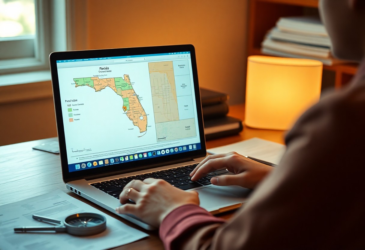
How-To Use A Property Lines App To Explore Any Florida Parcel Map
There’s a powerful tool at your fingertips that can transform the way you explore Florida’s parcel maps. By using a property lines app, you can easily access detailed information about land boundaries, ownership, and zoning regulations. This guide will walk you through the steps to effectively utilize this app, helping you gain insights into any Read more
-
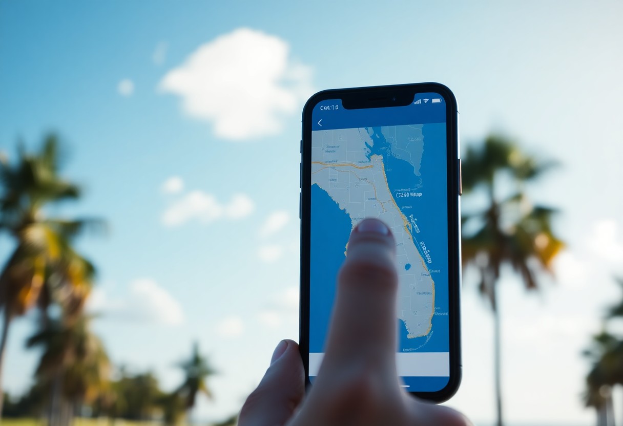
Discover Property Data Fast – How-To Navigate Florida Parcel Maps Online
Most property research can be made easier with the right tools at your fingertips. In this guide, you will learn how to efficiently navigate Florida parcel maps online to access valuable property data. By mastering these resources, you will empower yourself to make informed decisions and enhance your understanding of real estate in the Sunshine Read more
-
Find Out Who Owns That Land – Florida Parcel Owner Search Made Easy

It’s crucial to know how to find land ownership information in Florida, especially if you’re considering a purchase or need details for legal purposes. With the right tools and resources, you can easily access property records and discover who holds the title to a specific parcel. This guide will equip you with the knowledge to Read more
-
How Can You Easily Find Property Lines And Parcel Details In Broward County?
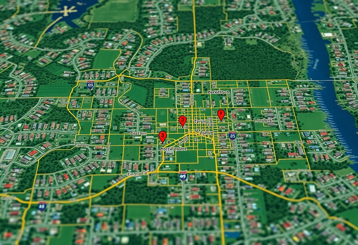
Over time, understanding property lines and parcel details has become imperative for homeowners and prospective buyers in Broward County. You can easily access this important information through online resources and county offices, enabling you to make informed decisions regarding your property. By utilizing tools like interactive maps, public records, and county websites, you can determine Read more
-
Can Property Lines And Boundary Maps Be Verified With A Free Coordinates Finder?
Most property owners are often uncertain about the accuracy of their property lines and boundary maps. You may wonder if a free coordinates finder can help validate this information. This post will explore how these tools work, their reliability, and what you should consider when verifying property lines, empowering you to make informed decisions about Read more
-
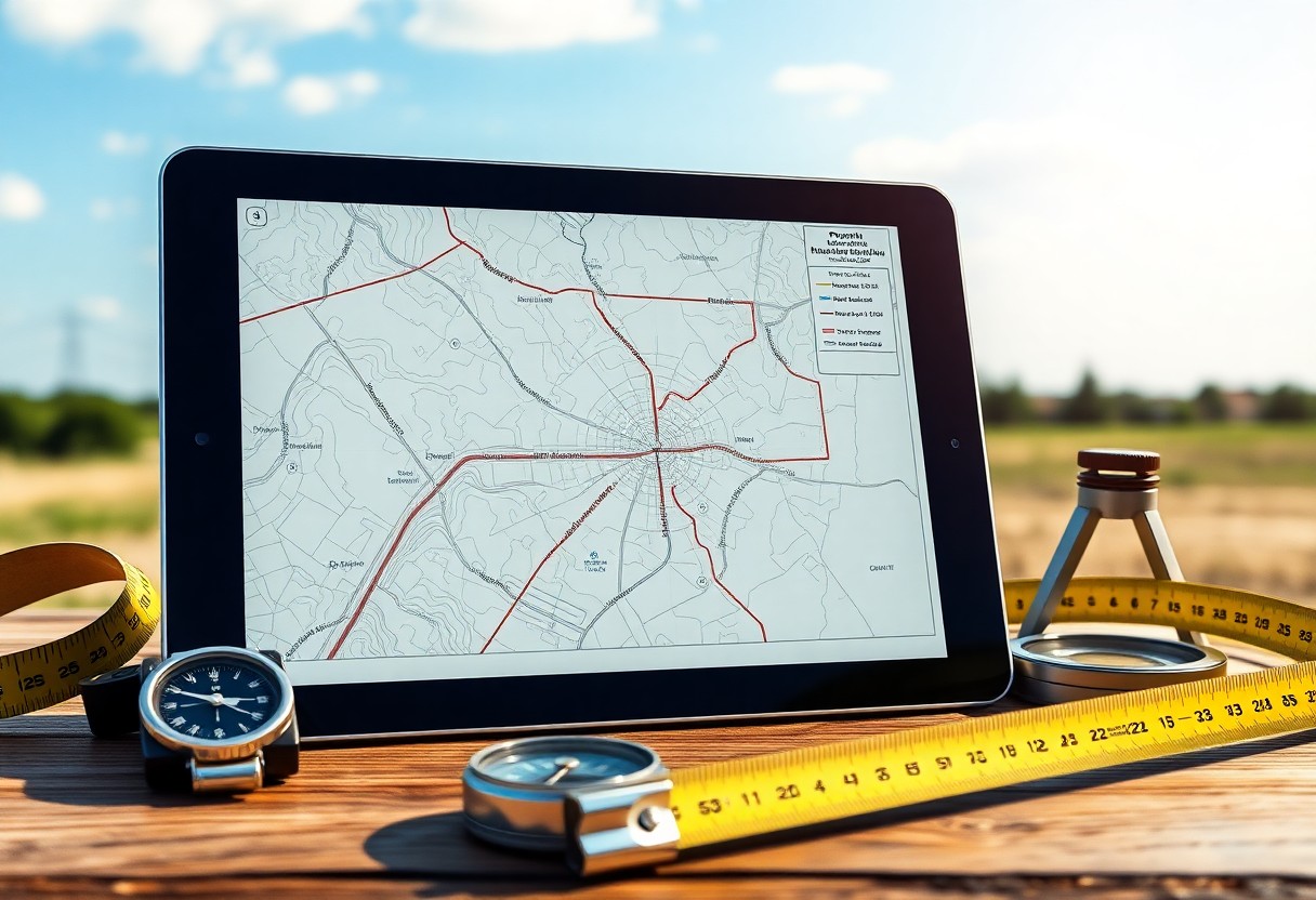
Where Can You Access Property Lines And Parcel Maps With Precise Coordinates?
Just as you need to know your own property boundaries for better planning and development, accessing accurate property lines and parcel maps is important for understanding your land’s dimensions. Various online resources, government websites, and local offices provide detailed maps and precise coordinates that can help you ascertain your property lines. This post will guide Read more
-
How Do Property Lines And Similar Polygons Help In Land Disputes?

Property boundaries play a vital role in defining ownership and resolving land disputes. Understanding how property lines and similar polygons work can empower you to navigate potential conflicts with neighbors or landowners. By utilizing precise measurements and geometric principles, you can clearly establish the limits of your property, helping to prevent misunderstandings and legal issues. Read more
-
Can A Coordinates Finder Accurately Display Parcel Boundaries And Property Lines?
It’s vital to understand how accurately a coordinates finder can display parcel boundaries and property lines. As a property owner or prospective buyer, knowing these boundaries can impact your decisions significantly. This technology often utilizes GPS data and mapping software to provide insights into property limits, but its precision can vary. In this post, you’ll Read more
-
How Do You Overlay Property Lines, Parcel Data, And Coordinates On One Map?
You can effectively overlay property lines, parcel data, and coordinates on one map to enhance your understanding of land boundaries and ownership. By utilizing mapping software and geographic information system (GIS) tools, you can combine various data layers for a comprehensive view. This process allows you to visualize the relationships between different properties, assess land Read more
-
Property Plat Map Basics – How To Understand Your Lot Lines
Property plat maps are important tools that help you visualize and understand your lot lines. By interpreting these maps, you can gain insights into property boundaries, easements, and neighboring parcels. This knowledge is invaluable whether you’re planning a renovation, considering a purchase, or resolving disputes with neighbors. In this guide, you will learn the fundamental Read more