
Author: TMAIDA
-
Where Can You Unearth A Free Property Ownership Search In Florida?
Florida public records let you find owners via county property appraiser sites, clerk of court databases, county GIS maps, and state portals; use official county websites and free tax records to confirm ownership details quickly. County Property Appraiser Websites County property appraiser sites let you search deeds, parcel IDs, assessed values and official owner names Read more
-
Which Tools Expose The True Custodians Of Properties In North Carolina?
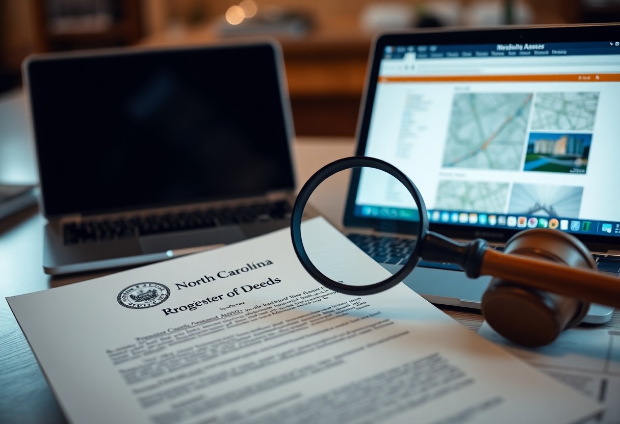
Most public records, GIS maps, register-of-deeds searches, tax assessor databases, and title reports show you who legally controls properties in North Carolina and reveal custodial chains. The Role of the County Register of Deeds County Register of Deeds maintains deeds, plats, and liens you can pull to verify ownership chains and recorded encumbrances; you use Read more
-
How Do You Traverse The Labyrinth Of Florida County Parcel Maps?
Florida parcel maps vary by county; you access property lines, ownership, tax data, and recorded plats through county GIS portals, assessor sites, and public records-use parcel IDs, search tools, and layered maps to verify boundaries and legal descriptions. Understanding the Florida Property Appraiser System Florida’s property appraiser system maintains parcel records, assessed values, and exemption Read more
-
Can You Unearth Ownership Mysteries With A North Carolina Parcel Search?
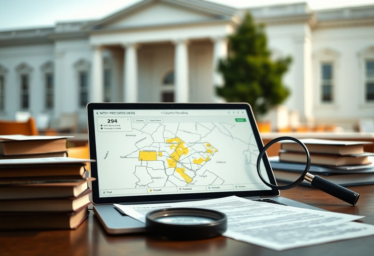
It’s possible for you to uncover property ownership histories, liens, and tax records using a North Carolina parcel search, giving you clear evidence for title questions, boundary issues, and transaction due diligence. Navigating the North Carolina Land Record Landscape Records held in courthouses and online public portals give you access to deed chains, easements, liens, Read more
-
Can A Digital GIS Reveal The True Borders Of Your Florida Land?
GIS combines cadastral records, aerial imagery, and survey data to map probable Florida property boundaries, but you should confirm results with a licensed surveyor and county records for legal accuracy. The Mechanics of GIS in Florida Real Estate This explains how GIS constructs parcel boundaries and what you should check when reviewing Florida property maps. Read more
-
What Are The Most Overlooked Techniques For Finding Property Lines In North Carolina?
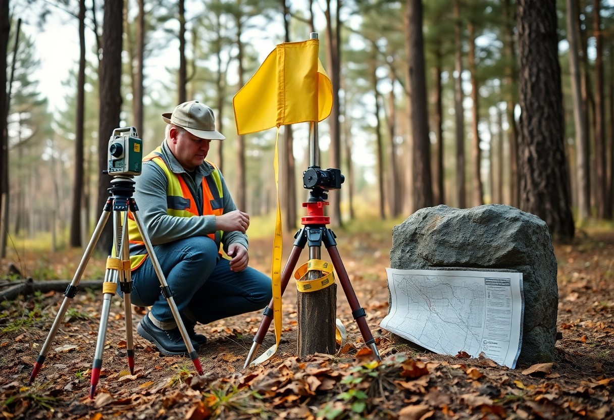
Overlooked deed descriptions, witness trees, and surviving survey markers can help you verify property lines in North Carolina; use public records, physical checks, and angle/distance comparisons so you can assess boundaries confidently before a professional survey. Navigating the North Carolina Register of Deeds Accessing the Register of Deeds in your county lets you retrieve deeds, Read more
-
How Do You Pinpoint Who Secretly Owns That Property In Florida?
Many times you can identify who secretly owns property in Florida by checking county clerk records, tax rolls, corporate filings and title searches, and you should use these public tools and legal methods to confirm ownership. Navigating Florida’s Public Records Landscape You can use public records to trace property ownership in Florida, checking official county Read more
-
What Obscure Methods Expose Property Lines In Remote Florida Parcels?
Property lines on remote Florida parcels can be exposed using aerial imagery, old plat maps, on-site markers and GPS surveys; you should cross-check county records and hire a licensed surveyor for legal certainty. Deciphering Historical Florida Survey Markers Survey notebooks and fading blaze marks help you pinpoint original corner calls, letting you reconcile old bearing Read more